filmov
tv
Create Thiessen Polygons (Analysis) in ArcGis

Показать описание
Creates Thiessen polygons from point features.
Each Thiessen polygon contains only a single point input feature. Any location within a Thiessen polygon is closer to its associated point than to any other point input feature.
Usage
This tool is used to divide the area covered by the input point features into Thiessen or proximal zones. These zones represent full areas where any location within the zone is closer to its associated input point than to any other input point.
Thiessen proximal polygons are constructed as follows:
All points are triangulated into a triangulated irregular network (TIN) that meets the Delaunay criterion.
The perpendicular bisectors for each triangle edge are generated, forming the edges of the Thiessen polygons. The location at which the bisectors intersect determine the locations of the Thiessen polygon vertices.
The outside boundary of the output Thiessen polygon feature class is the extent of the point input features plus an additional 10%. If the Extent environment is set to a specific extent window, this tool tool will use the environment setting to set its outside boundary.
 0:02:18
Create Thiessen Polygons Tool ArcGIS
 0:07:38
Create Thiessen Polygons (Analysis) in ArcGis
 0:00:40
Create Thiessen polygons
 0:06:15
Creating Accurate Thiessen Polygons in ArcMap II Create Thiessen Polygon by using ArcMap
 0:01:50
Thiessen Polygons in ArcGIS Pro
 0:10:08
How to create Thiessen polygon in ArcGIS?
 0:26:15
Analyzing the Areas of Influence with Thiessen Polygons using QGIS
 0:08:51
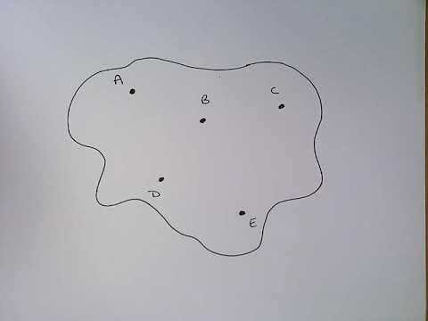
How to do Thiessen Polygon Method - Draw Thiessen Polygons
 0:12:42
Economic Geography: Creating Thiessen Polygons and Joining Data to Estimate Trade Areas
 0:14:43
Create Thiessen Polygons using ArcMap and Calculating Thiessen Weights
 0:05:56
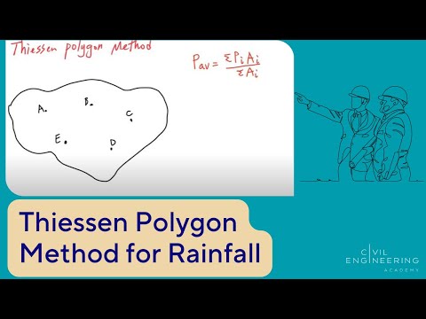
Thiessen polygon method on Arc GIS | Estimation of average rainfall
 0:03:46
Create Thiessen Polygons in ArcGIS
 0:09:24
How to create Thiessen Polygon using Point Shapefile & Perform Overlay Analysis
 0:12:40
GIS on John Snow Map Part 4 – Thiessen Polygons
 0:06:09
Civil PE Exam - Water Resources - How to Use the Thiessen Polygon Method for Rainfall
 0:04:40
Create Thiessen Polygon Using ET GeoWizards and ArcGIS
 0:01:15
ArcGIS 10.2 - Create Thiessen Polygons
 0:04:00
How to create Thiessen polygons in BioClass online
 0:05:38
How to Create Thiessen polygon by mihretu
 0:10:18
Thiessen Polygon Method
 0:04:14
Thiessen Polygon in ArcGIS
 0:02:36
How to Create Thiessen Polygon in ArcGIS 10.3
 0:12:54
Thiessen Polygons and Spatial Joins for Business Site Location
 0:01:47
Thiessen Polygons
Комментарии