filmov
tv
Create Thiessen polygons

Показать описание
In ArcGIS, creating Thiessen polygons, also known as Voronoi polygons, can be useful for various spatial analysis tasks. Thiessen polygons help in understanding the spatial distribution of points and can be used in interpolation, proximity analysis, and resource allocation. Here's how you can create Thiessen polygons in ArcGIS:
Open ArcMap or ArcGIS Pro:
Launch ArcMap or ArcGIS Pro, depending on the version you are using.
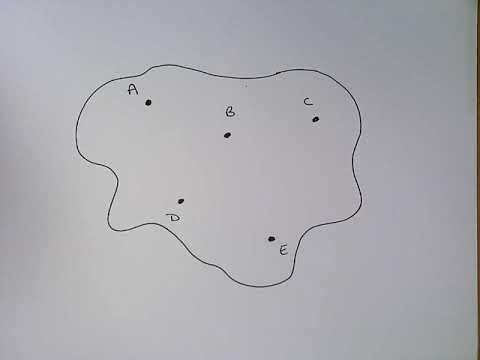
Load your Point Data:
Import the point dataset that you want to create Thiessen polygons for into your ArcGIS project. This dataset should contain the points for which you want to generate Thiessen polygons.
Access Toolbox:
In ArcMap, open the ArcToolbox window. In ArcGIS Pro, access the Geoprocessing pane.
Search for "Create Thiessen Polygons" Tool:
In the Toolbox or Geoprocessing pane, search for the "Create Thiessen Polygons" tool. You can simply type "Thiessen" or "Voronoi" in the search bar to find the tool.
Input Point Features:
Specify the input point features. Select the point layer that you loaded earlier.
Output Polygons:
Choose where you want to save the generated Thiessen polygons. Specify the output location and name for the Thiessen polygon feature class.
Run the Tool:
Run the tool. ArcGIS will generate Thiessen polygons based on the input points.
View and Analyze the Results:
Once the tool has finished processing, add the generated Thiessen polygons to your map. You can visualize and analyze the spatial distribution of these polygons in relation to the original points.
Thiessen polygons can be further utilized for various spatial analyses within ArcGIS, such as determining which points are nearest to specific locations or performing interpolation tasks based on the spatial arrangement of points.
Open ArcMap or ArcGIS Pro:
Launch ArcMap or ArcGIS Pro, depending on the version you are using.
Load your Point Data:
Import the point dataset that you want to create Thiessen polygons for into your ArcGIS project. This dataset should contain the points for which you want to generate Thiessen polygons.
Access Toolbox:
In ArcMap, open the ArcToolbox window. In ArcGIS Pro, access the Geoprocessing pane.
Search for "Create Thiessen Polygons" Tool:
In the Toolbox or Geoprocessing pane, search for the "Create Thiessen Polygons" tool. You can simply type "Thiessen" or "Voronoi" in the search bar to find the tool.
Input Point Features:
Specify the input point features. Select the point layer that you loaded earlier.
Output Polygons:
Choose where you want to save the generated Thiessen polygons. Specify the output location and name for the Thiessen polygon feature class.
Run the Tool:
Run the tool. ArcGIS will generate Thiessen polygons based on the input points.
View and Analyze the Results:
Once the tool has finished processing, add the generated Thiessen polygons to your map. You can visualize and analyze the spatial distribution of these polygons in relation to the original points.
Thiessen polygons can be further utilized for various spatial analyses within ArcGIS, such as determining which points are nearest to specific locations or performing interpolation tasks based on the spatial arrangement of points.
 0:10:08
 0:07:06
 0:01:15
 0:02:18
 0:10:48
 0:05:56
 0:07:38
 0:03:46
 0:00:40
 0:14:43
 0:06:15
 0:05:56
 0:20:54
 0:04:40
 0:03:13
 0:03:27
 0:08:42
 0:03:20
 0:10:18
 0:02:36
 0:04:33
 0:12:59
 0:04:32
 0:07:07