filmov
tv
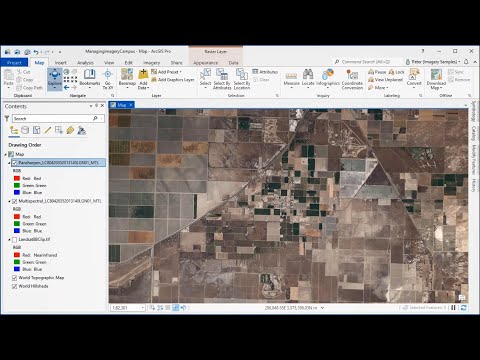
Working with Imagery & Raster data in ArcGIS Pro

Показать описание
This video provides an overview of ArcGIS Pro capabilities to visualise, manage and analyse imagery including LiDAR, drone and Multi-Dimensional raster data. Understand how raster functions allows to define processing operations that can be applied to one or more raster datasets on the fly.
 0:52:42
 1:10:42
 0:52:42
 0:48:42
 0:55:07
 0:02:02
 1:19:25
 0:03:47
 0:00:30
 0:05:10
 0:07:51
 0:02:49
 0:00:46
 0:20:34
 0:17:02
 1:15:14
 0:27:38
 0:48:15
 0:02:46
 1:00:14
 0:11:33
 0:04:24
 0:10:03
 0:05:52