filmov
tv
How to get Heightmaps using OpenTopography [Tutorial]

Показать описание
Yo,
In this Video ill show you how to navigate OpenTopography and get heightmaps into World Machine using VTbuilder. Hope this helps y'all.
Feel free to ask any questions in the comments or DM me on Discord: KongtheMonkey#3987 [Zamn... I just remembered they changed the discord names lol]
World Machine:
OpenTopography:
VTBuilder:
Musik:
- Background: Splash by David Cutter
- Outro: Through the Woods we ran by Vindsvept
Commenting, liking and subscribing is very much appreciated!
Cya Around (;
#worldpainter #worldmachine
 0:12:04
How to get Heightmaps using OpenTopography [Tutorial]
 0:10:36
Importing Real World Heightmaps into Unreal Engine
 0:01:34
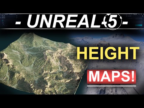
Unreal 5 - Automatic Landscapes (HEIGHT-MAPS)
 0:03:37
How to Import Landscape Heightmaps in Unreal Engine 5
 0:01:25
How to use Heightmaps in Unreal Engine 5
 0:00:45
Creating a Realistic Landscape in Unreal Engine Using Height Maps
 0:13:32
Creating Unreal Engine Landscapes with Real World Height Data
 0:12:26
UE4 Heightmap Guide: Everything You Need to Know About Landscape Heightmaps for UE4
 0:13:54
(Free Heightmaps 1-8k) Unreal Engine 5.4 - Import Heightmaps Tutorial Part 1
 0:12:17
How to Create 3D Terrain with Google Maps and Blender!
 0:07:47
Using World Partition with real world heightmap data | Unreal Engine 5
 0:01:35
Height Maps in UE5 - Generate Landscape using Height Maps (Unreal Engine Tutorial)
 0:14:55
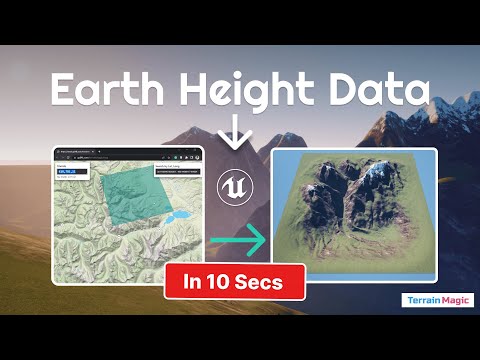
Get Real World Height Data into Unreal Engine Landscapes in Seconds (via TerrainMagic)
 0:05:35
Unity 2019 - Adding Real World Height Maps To Your Game
 0:08:48
How To Import Height Map - Handle Normalized and Raw Height Maps in World Painter in 10 minutes
 0:04:42
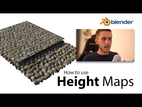
3 Most Popular Methods of using Height, Displacement or Bump Maps | Blender 2.8
 0:07:53
How To Create A 3d Terrain With Google Maps And Height Maps In Photoshop - 3d Map Generator Terrain
 0:05:21
Create your own HEIGHTMAPS with ease [ENG]
 0:34:43
1: Import Real Landscapes into Unreal in under 30 minutes using Houdini and real world DTM data
 0:14:09
Generate Normal and Height maps with Midjourney + Blender
 0:03:24
Using Height Maps as an Input for Normal Information in SUBSTANCE PAINTER
 0:01:33
Heightmaps in Blender 2.8
 0:05:44
Best way to create Landscapes in BLENDER | World creator - Height maps
 0:04:50
Cities Skylines 2 - Importing Heightmaps (make maps using real world data)
Комментарии