filmov
tv
GIS Tech Tip: Exporting data from a Geodatabase to a Shapefile in ArcGIS Pro

Показать описание
Learn how to export GIS data to a Shapefile using ArcGIS Pro, Esri's latest desktop GIS application.
In this video, Tripp Corbin, GISP, one of SAM’s GIS experts, shows how to export data stored in a Geodatabase to a shapefile. Shapefiles are often used to share GIS information due to their wide acceptance and support by a wide range of GIS enabled platforms and applications. Check out Tripp's video to take a deeper dive into the the workflow and tools in tools in ArcGIS Pro that allow you to accomplish this data export. #TechTips
In this video, Tripp Corbin, GISP, one of SAM’s GIS experts, shows how to export data stored in a Geodatabase to a shapefile. Shapefiles are often used to share GIS information due to their wide acceptance and support by a wide range of GIS enabled platforms and applications. Check out Tripp's video to take a deeper dive into the the workflow and tools in tools in ArcGIS Pro that allow you to accomplish this data export. #TechTips
 0:21:31
GIS Tech Tip: Exporting data from a Geodatabase to a Shapefile in ArcGIS Pro
 0:15:12
FASTEST Way to Learn Modern GIS and ACTUALLY Get a Job
 0:01:24
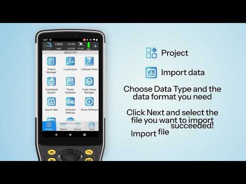
🔍 Mastering Data Import & Export with TSurvey | Your Ultimate GIS Tutorial 📈'
 0:19:37
GIS Tech Tips: Understanding a Shapefile: What is it and How to use it
 0:00:22
Comment yes for more body language videos! #selfhelp #personaldevelopment #selfimprovement
 0:00:34
Senior Programmers vs Junior Developers #shorts
 0:00:25
what it’s like to work at GOOGLE…
 0:00:54
VisionLidar365 Digitization Tool | Timelapse + GIS & CAD export - 100% Online Point Cloud Data!
 0:00:46
NEVER buy from the Dark Web.. #shorts
 0:24:46
How I Would Learn GIS (If I Had To Start Over)
 0:00:59
How to download data from #osm #overpass #gis
 0:00:33
How much does a UI/UX DESIGNER make?
 0:00:30
Junior Developer v/s Senior Developer😛 #shorts #funny
 0:05:37
GIS Tech Tips: Inserting Extent Indicators in ArcGIS Pro 3.x
 0:00:20
1st yr. Vs Final yr. MBBS student 🔥🤯#shorts #neet
 0:00:22
Tough times Never last 😊✌️ #delhipolice #motivation
 0:00:52
Sharing PostGIS data #gis #postgis #postgresql
 0:00:16
Computer Data Entry // my wife data entry 😁😁
 0:00:16
How to eat Roti #SSB #SSB Preparation #Defence #Army #Best Defence Academy #OLQ
 0:02:21
Georeference an Image - Tech Tip
 0:00:58
How much does an IT Analyst make?
 0:00:57
#26 Tech Tip Excel Export Options
 0:01:36
Export Shapefile from Autodesk Civil 3D - Exporting and Importing SHP Files From Civil 3D
 0:00:36
How much does an AI ENGINEER make?
Комментарии