filmov
tv
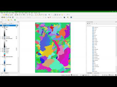
Catchment delineation with PCRaster Python

Показать описание
This video shows how to delineate a catchment from SRTM DEM tiles using only command line (PCRaster, GDAL, Python).
 0:15:17
Catchment delineation with PCRaster Python
 0:25:49
Tutorial: Catchment delineation using PCRaster Python
 0:22:19
Delineate Streams and Catchments with PCRaster in the QGIS Python Console
 0:12:40
Automatic delineation of subcatchments from a DEM using PCRaster Python
 0:09:36
Module 4: Spatial Dynamic Modelling with the PCRaster Python Framework
 0:39:36
Tutorial: Map Algebra with PCRaster in Python
 0:04:53
Introduction to the PCRaster Environmental Modelling Language
 0:13:35
Tutorial: Spatial interpolation of borehole data with PCRaster Python
 0:07:50
Report time series tables for sample locations in dynamic mapstacks with PCRaster Python
 0:08:06
Combine & reclassify rasters with PCRaster in Python
 0:07:17
Prepare raster data for PCRaster model
 0:19:24
Tools for Stream and Catchment Delineation with QGIS
 0:14:12
Derive all subcatchments from a DEM using PCRaster in QGIS
 0:03:31
Welche Parameter braucht ein Verarbeitungswerkzeug für die Ausführung mit python in QGIS?
 0:08:43
Extract Catchment / Watershed Using two or more outlets in QGIS 3 Using PCRaster
 0:00:57
New QGIS Processing Script for Automatic Stream & Catchment Delineation
 0:12:25
Challenges with Stream and Catchment Delineation in QGIS?
 0:08:37
Set up PCRaster in Windows using Anaconda
 0:01:51
GIS: How to create a raster delineating all drainage basins using pysheds python?
 0:33:57
Delineating a watershed boundary
 0:00:44
Channel network delimitation from a raster DEM with Python and Landlab - Tutorial
 0:19:02
Interactively Derive Streams and Catchments in QGIS Using the Graphical Modeller
 0:25:48
How to delineate a watershed in R
 0:21:13
Stream and catchment delineation with GIS (theory)
Комментарии