filmov
tv
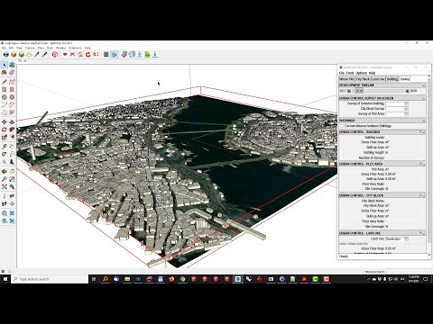
Importing Google Maps into SketchUp Models - The SketchUp Essentials #8

Показать описание
PLEASE NOTE: IN SKETCHUP 2017, SKETCHUP LOST THE FUNCTIONALITY TO IMPORT MAPS AND TERRAIN FROM GOOGLE MAPS. TERRAIN AND SATELLITE IMAGERY IS NOW ONLY AVAILABLE IN THE PRO VERSION OF SKETCHUP. MAP DATA CAN STILL BE IMPORTED IN THE FREE SKETCHUP MAKE VERSION.
PLEASE LIKE AND SUBSCRIBE
Check Us Out On -
One of the most powerful things about SketchUp is the way that it integrates with both Google Maps and Google Earth.
Originally, SketchUp was purchased by Google, who then built in a lot of useful tools for geolocating models created in the software. Since then, SketchUp has been purchased by Trimble, but those geolocation tools remain active in SketchUp.
This SketchUp tutorial will teach you how to import Google Maps into your SketchUp models. You can use these maps to ensure that your models are accurately located in the real world (you can even export your models into Google Earth). This is a very simple, powerful process.
 0:05:24
Importing Google Maps into SketchUp Models - The SketchUp Essentials #8
 0:06:52
How to Generate A Contour Map with Sketchup from Google Map
 0:14:25
Google Earth to Sketchup Tutorial
 0:07:19
Import 3D Google Maps into SketchUp Using PhotoCatch (MacOS Photogrammetry)
 0:14:41
4 Easy Ways to Import OpenStreetMap 3D Buildings into SketchUp (2021 Edition)
 0:47:48
Get Google Maps 3D in Any Architectural Software (Tutorial - Updated method 2023)
 0:05:01
How to Import a Google Map into Sketchup
 0:05:34
Updates to Satellite Imagery in Geo-Location
 0:11:45
Three Ways To Import OpenStreetMap Data In SketchUp
 0:01:00
How To Import A Google Map Into Sketchup
 0:09:26
Sketchup drawing using Google Maps
 0:39:26
Google Earth use in Sketchup | How to import 3D Building from Google Earth
 0:11:04
Importing Google Map 3D to Blender / SketchUp / Lumion / TwinMotion
 0:05:58
Importing Actual 3D Models From Google Maps
 0:00:41
Extract 3D Content From Google Earth
 0:09:41
Exporting Your SketchUp Model to Google Earth - The SketchUp Essentials #28
 0:05:40
Import Google Earth Models into your 3D Software
 0:00:32
3D Google Earth in SketchUp using PhotoCatch. EASY.
 0:01:08
Using Sketchup to make 3D buildings in Google Earth
 0:01:46
Import Google Earth image to Sketchup (Part 1)
 0:08:07
3 FREE Digimap Alternatives for Site Analysis and Site Plans
 0:02:46
How to Place SketchUp Model into Google Earth
 0:15:32
Google Earth to SKP
 0:10:13
DETAILED 3D CITIES for SketchUp are Here!
Комментарии