filmov
tv
Geosoft Oasis Montaj - How to Import Shape Files

Показать описание
Geosoft Oasis Montaj - How to Import Shape Files
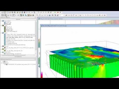
Geosoft Oasis Montaj is a software package specifically designed for geophysical data processing, interpretation, and visualization. While Geosoft Oasis Montaj primarily focuses on geophysical data, it also supports working with spatial data in the form of shapefiles.
Shapefiles are a popular geospatial vector data format commonly used in Geographic Information System (GIS) applications. They consist of a set of files that store geographic data related to points, lines, and polygons, along with corresponding attribute information.
In Geosoft Oasis Montaj, you can import shapefiles to integrate them with your geophysical datasets. The software provides tools for visualizing the shapefile data, performing spatial analysis, and incorporating it into your geophysical workflows.
To import a shapefile in Geosoft Oasis Montaj, follow these steps:
1. Open Geosoft Oasis Montaj and navigate to the Geophysics or Grid functionality, depending on the data you are working with.
2. Click on the "File" menu and select "Import" or use the import toolbar button.
3. Choose the "Vector" option from the import menu.
4. In the vector import dialog, select the shapefile format and browse to the location of your shapefile.
5. Specify the coordinate system and ensure that the attributes you want to import are selected.
6. Click on the "OK" button to import the shapefile into Oasis Montaj.
Once imported, you can display the shapefile, change its symbology, perform spatial analyses, and even combine it with your geophysical datasets for further analysis or interpretation.
It's important to note that Geosoft Oasis Montaj supports various other geospatial formats, such as GeoTIFF, DXF, and MapInfo, allowing you to work with a wide range of spatial data in your geophysical projects.
#geology #engineering #lecture #creative #magnetic #arcgis #geophysic #geosoft #eletric
 0:04:24
 0:07:41
 0:06:40
 0:05:31
 0:13:30
 0:05:22
 0:03:42
 0:13:20
 0:04:12
 0:08:25
 0:22:00
 0:03:04
 0:02:52
 0:10:19
 0:18:48
 0:03:40
 0:10:38
 0:04:45
 0:12:47
 0:18:17
 0:17:48
 0:01:36
 0:10:24
 0:02:21