filmov
tv
The Best World Data Visualizations of 2021 in 5 minutes

Показать описание
Some of the best data visualizations from 2021 and 2020 about world geography. See how data visualisations can show you things that even your geography teacher got wrong! All from the data is beautiful subreddit. Covering population, Mercator projections, average flag colour, speakers of languages, the biggest cities in the world… and more.
All these have received LOADS of upvotes in the fantastic subreddit r/dataisbeautiful.
If you want to have a look at some of the visualisations yourself, or tell the creator directly how much you love it, you can view them directly in the links below.
REMEMBER... Data IS beautiful, but it doesn't always tell the truth. To see the data sources and tools used, go and have a look at the original content below.
Credits:
Fewest countries with more than half the land, people and money [OC]
Ratio of land and sea at different latitudes
World Mercator map projection with true country size and shape added [OC]
Average flag colour by latitude [OC]
Density map of stars on national flags [OC]
Languages by Speaker Count & Type [OC]
Animation: the 10 biggest cities in the world, 1500-2018 [OC]
City maps from Airbnb location ratings [OC]
Vegetation intensity throughout the year for Africa [OC]
South Korea's GDP per capita vs. the rest of the world (1970 & 2016) [OC]
Frances longest border is shared with Brazil!
Mercator projection by grafonaut:
Photo by Antonio Quagliata from Pexels
 0:05:26
The Best World Data Visualizations of 2021 in 5 minutes
 0:18:18
The beauty of data visualization - David McCandless
 0:05:23
The BEST Data Visualizations of 2021 in FIVE MINUTES
 0:02:20
D3.js in 100 Seconds
 0:06:54
World's most famous data visualization. 1 line of python!
 0:11:02
Data Visualization in 2024 | The Ultimate Guide
 0:07:48
The Art of Data Visualization | Off Book | PBS Digital Studios
 0:03:31
How to Make Bar Chart Race Video | Tutorial
 0:31:41
Data Visualization in Data Science for AIML: End-to-End Session 30
 0:00:34
Top useful website for data visualization
 0:07:09
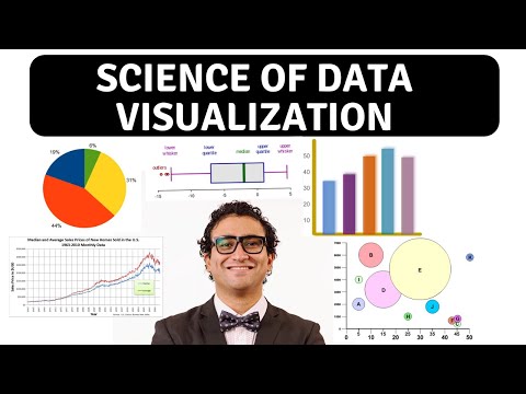
Science of Data Visualization | Bar, scatter plot, line, histograms, pie, box plots, bubble chart
 0:46:03
Best of Strata + Hadoop World 2012: How to See Data - Data Visualizations
 0:15:50
The Evolution Of Data Visualization | Dustin Cabral | TEDxBryantU
 0:04:43
Coca-Cola: Real-World Data Analytics Example | Google Data Analytics Certificate
 0:01:43
The Value of Data Visualization | The Power of Visual Storytelling
 0:29:58
Create Netflix dashboard with Tableau in 30 minutes
 0:00:46
3D Art & Data Visualization = 🤯😎 #3dart #datascience #maps
 0:15:18
7 Best Data Visualization Tools in 2024 [Full Software Demo]
 0:42:48
Data Sketches | A year of exotic data visualizations - Nadieh Bremer | Render Conf 2018
 0:17:11
🚨 YOU'RE VISUALIZING YOUR DATA WRONG. And Here's Why...
 0:53:18
Data Visualization: The Seven Ingredients in Every Great Chart
 0:25:57
Data Visualization Crash Course | Consulting Best Practices
 0:01:00
WORLD EARTHQUAKES 2000 - 2015 Data Visualization, with music
 0:02:06
World Data Visualization Prize - Full Session - WGS 2019
Комментарии