filmov
tv
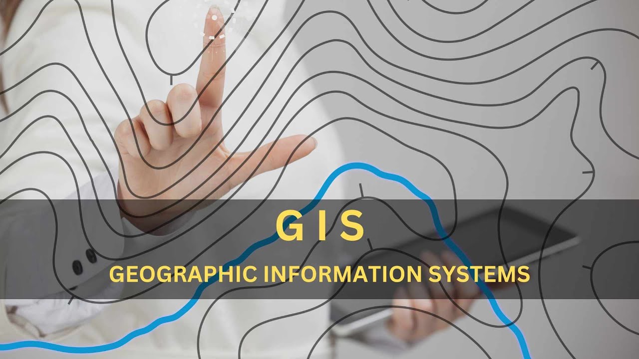
GIS Explained: Visualizing Data for Informed Decision-Making
Показать описание
Welcome to our YouTube video about #Geographic_Information_Systems (GIS). #GIS is a technology that captures, stores, analyzes, and visualizes #geospatial data, offering insights for decision-making. Its components include hardware, software, and data from sources like satellites and surveys. GIS empowers us to overlay data layers, revealing patterns. It excels in disaster management, environmental monitoring, and #urban_planning, aiding tasks from tracking hurricanes to mapping historical sites. GIS turns complex data into compelling visualizations such as maps and 3D models. This introduction only scratches the surface of GIS's diverse applications, showcasing its transformative role in understanding our world.
 0:03:42
 0:08:03
 0:05:11
 0:07:08
 0:03:42
 0:04:21
 0:00:31
 0:02:41
 0:30:21
 0:01:44
 0:15:12
 1:02:47
 1:03:08
 0:07:47
 0:00:29
 0:08:37
 0:40:50
 0:00:18
 0:07:16
 0:55:25
 0:00:33
 0:14:01
 1:08:40
 0:43:09