filmov
tv
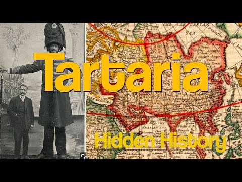
Antique map of Tartary or Tartaria, 1606 | SKU: 187403

Показать описание
Hondius' map of Tartary featured detailed geographical information, including mountain ranges, rivers, and cities. It also included various illustrations and vignettes, such as depictions of nomadic life, animals, and mythical creatures. The map was an attempt to represent the geographic knowledge and legends surrounding the region at that time. It's important to note that the understanding of geography during the 17th century was limited compared to today. Many areas of the world, including parts of Central Asia, were still largely unexplored and poorly understood by European cartographers.
Buy this map from the link below:
More maps of Jodocus Hondius
Buy this map from the link below:
More maps of Jodocus Hondius
 0:11:15
 0:00:15
 0:12:47
 0:00:16
 0:07:56
 0:09:11
 0:00:14
 0:01:40
 0:00:29
 0:05:38
 0:08:51
 0:02:33
 0:00:15
 0:00:12
 0:00:53
 0:00:16
 0:00:37
 0:19:10
 0:00:16
 0:00:31
 0:01:01
 0:02:03
 0:02:58
 0:00:44