filmov
tv
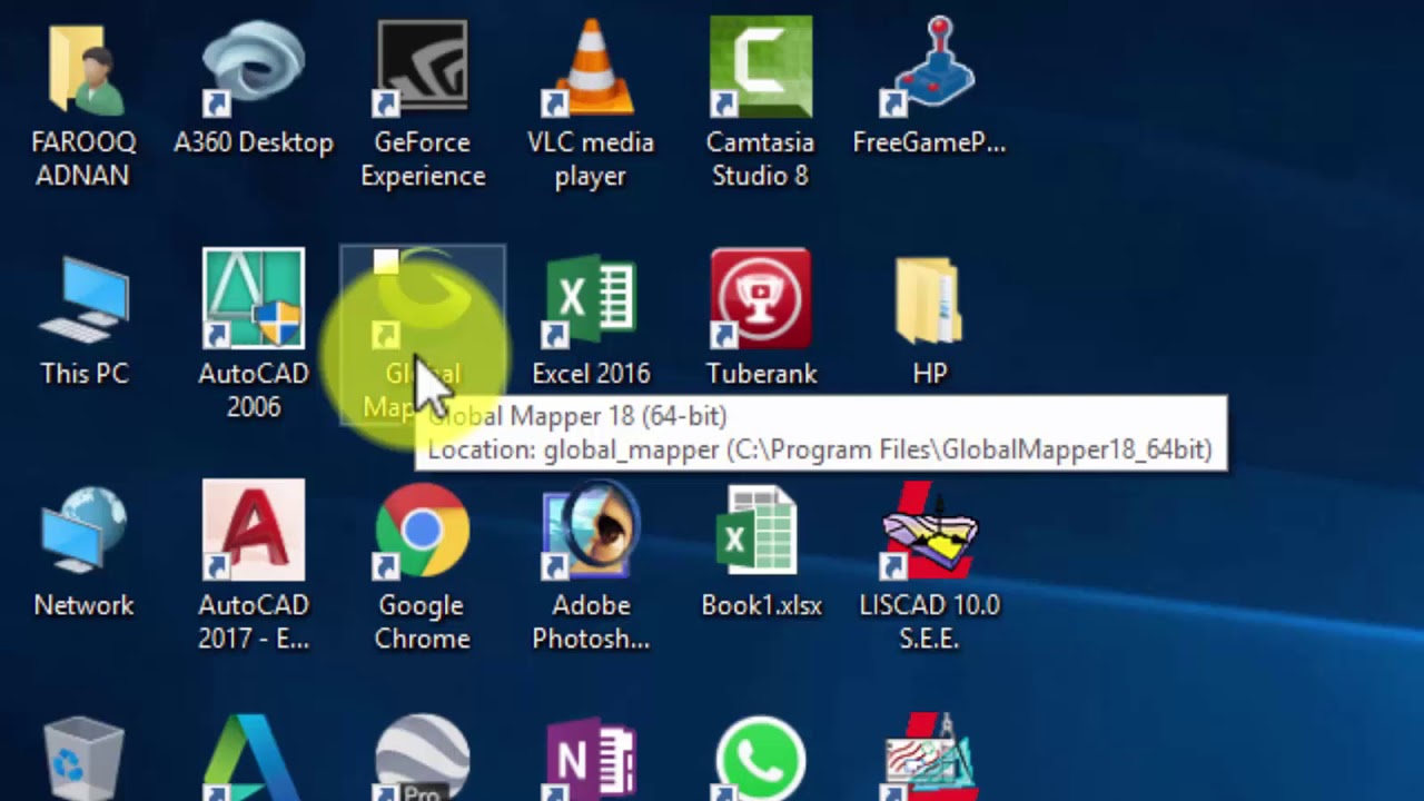
How to Export AutoCAD Drawing to Google-Earth
Показать описание
in This video i will show you that How to Export AutoCAD Drawing to Google Earth With help/using of global mapper. global mapper is a software that allow you to convert your data from one to other zone. also you can import and export any file format data related to GPS and google earth.
 0:01:04
Autocad 2017: Quick save in PDF with correct scale
 0:01:55
How to convert AutoCAD DWG to a PDF file - Tutorial
 0:01:16
How to export AutoCAD 2019 drawing into Word 2019 - Tutorial
 0:01:15
AutoCAD How To Export To Pdf Tutorial
 0:01:51
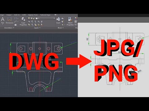
Convert DWG to JPG/PNG | AutoCAD tutorial ⏩
 0:08:00
AutoCAD Print Setup ( sheets, scale, export to PDF ) Tutorial
 0:03:29
How to Export AutoCAD DWG to Revit – Quick & Easy Export and Import for DWG to Revit
 0:09:52
AutoCAD How to Save or Print As PDF - Quickly & Easily! | 2 Minute Tuesday
 0:05:26
How to export an AutoCad drawing into a Word Document
 0:02:33
How to Convert AutoCAD to KML | Export AutoCAD Drawing to Google Earth Pro | AutoLisp Command
 0:02:36
How to convert autocad file into Pdf(Plotting/printing)
 0:02:10
How To Save File in DWG in AutoCAD 2022 | How to save DWG file in AutoCAD | AutoCAD 2022 | AutoCAD
 0:00:59
Export autocad Text to excel TTT
 0:01:58
How to export AutoCAD drawing into a word document
 0:10:48
Export AutoCAD to Illustrator
 0:10:00
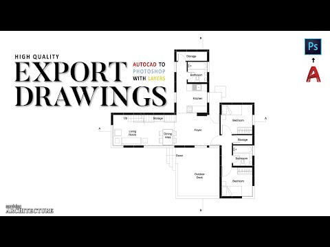
How to Export AutoCAD to PDF with layers [HIGH QUALITY]
 0:02:52
How to convert PDF to AutoCAD in just 2 minutes 😲
 0:00:25
#Autocad🖥️ ||Drw. convert to Pdf || 📐
 0:01:01
How to Export AutoCAD Table to Excel | AutoCAD Table to Text | AutoCAD csv Export
 0:04:21
How to Export AutoCAD drawing as image to use in MS Word
 0:00:32
Export any table from Autocad to excel with one click
 0:00:56
Import and export excel table into AutoCAD
 0:02:36
Convert AutoCAD drawing to Microsoft Word format | DWG to DOC
 0:02:48
AutoCAD to JPG (high quality) || AutoCAD to image file
Комментарии