filmov
tv
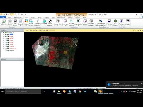
Removing Scan Line Error of Landsat 7 Using ArcGIS Landsat Tools || Landsat Tools||@geotechstudio

Показать описание
Link for Landsat Toolbox :
In this video, we have removed the scan line error of landsat 7 satellite image in a many easy way.
Follow us on Social Media:
Link to other Videos:
An Absolute Guide for Beginners || Beginners Series For ArcGIS || Part 2 || @GeoTech Studio
Absolute Guide For ArcGIS Beginners || Beginner Series For ArcGIS || Part 1:
Accuracy Assessment || Kappa Coefficient || Overall Accuracy:
Equal Block Division based on Area:
DEM and LULC Data Preparation for SWAT Model :
Soil Map Preparation for SWAT Model :
Data Preparation SWAT Model : Soil Properties Data || SWAT Simulation:
Installation of ERDAS Imagine 2015:
Mosaicing in GIS:
Slope Analysis from DEM in ArcGIS:
Digitization in QGIS Using Snapping Options
Georeferencing on QGIS
Hotspot Analysis Using ArcMap:
Stream Order Analysis from a Digital Elevation Model using ArcGIS 10.X
Extraction or Digitization of Land features using Landsat 8 Data:
Calculating Land Surface Temperature using Landsat 8 images by ArcGIS:
Calculating the Criteria Weight by Multiple Criteria Decision Making :
Interpolation:
Thematic Mapping of COVID-19:
Study Area Mapping:
Landuse Land Cover link:
Landslide Assessment video link:
USGS data downloading tutorial video link:
Fire Risk Assessment video link:
Water Delineation Tutorial link:
Georeferencing On ArcMap:
#ArcGIS_For_Beginners
#ArcGIStutorials
#ArcGIS_For_Beginners
#GeoTechStudio
 0:06:15
Fix/Remove Landsat 7 Scanline Error Using Qgis | Removing Scan Line Error of Landsat 7 ETM+
 0:04:58
Removing Scan Line Error of Landsat 7 Using ArcGIS Landsat Tools || Landsat Tools||@geotechstudio
 0:01:41
How to Fix/Remove Landsat 7 Scanline Error using Landsat Toolbox | Easy & Effective
 0:04:47
How to fix and remove Scan line error in Landsat 7 Using ArcGIS
 0:10:37
Destripe Landsat ETM+ Scan-Line Corrector error using QGIS
 0:04:25
Fix Landsat 7 Scan Line Error using Landsat Toolbox in ArcMap
 0:08:40
Landsat Images scanline error fixing procedure
 0:05:12
How to remove Vertical Lines on Scans and Copies in Epson Printers Document Feeder ADF
 0:03:19
How to Remove Scanline Error from Landsat-7 Images | Batch Processing for Multiple Images
 0:03:09
How to Fix the ScanLine Error of Landsat 7 ETM+ using QGIS || Fill nodata Tool || QGIS || Error |GIS
 0:05:11
How to remove scanline error in Landsat 7 using ArcGIS | Remove black lines from Landsat 7
 0:03:06
How to remove landsat scan line error in ArcGIS.#landsat Image , #Geoinfonepal , #Correction
 0:02:06
Fixed! Scan & Copy With Vertical Line
 0:11:34
How to remove scanline error from satellite imagery || How to remove clouds from Landsat imagery
 0:06:24
Landsat 7 scan line error correction with erdas imagine
 0:04:32
Radiometric Correction or Fixing Landsat 7 Scanline Error in ArcGIS 10.5
 0:02:05
How to fix the ScanLine error of Landsat 7 ETM+ using QGIS
 0:08:27
How to fixe Scanline Of Landsat 7 Satellite Image II Qgis II In 8 Minutes
 0:05:16
Fixing Scan Line Problems on Landsat7 in Q-GIS
 0:03:26
GIS: Landsat7 Scan Line Correction in GEE (2 Solutions!!)
 0:07:34
Layer stacking, Remove black background, Fix Landsat 7 scan line error, and cloud removing by ENVI
 0:08:20
Removal of Line Stripping Error in LANDSAT 7 in ERDAS
 0:06:59
GEE 11: How to remove Landsat 7 satellite imagery Scanline error in GEE
 0:01:23
How to Fix Streaks and Lines in Scans, Copies & Faxes from Printer or Copier
Комментарии