filmov
tv
CSV File to Point Shapefile - Python GDAL/OGR

Показать описание
Here you will learn new GIS Technologies i.e Geospatial & Data management, Open source tools for contributing to implement large enterprise projects, big database and enterprise wise applications including real data transfer.
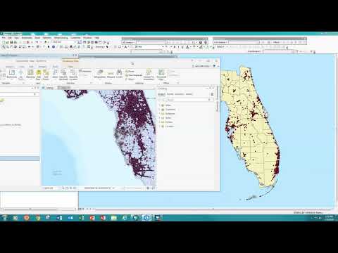
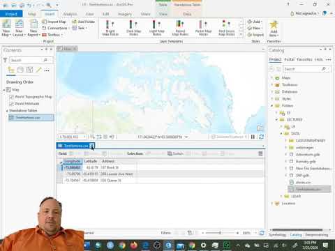
In this video you will learn, how to create new point shapefile with csv that contains longitude(x) and latitude(y) information.
If you have any queries, drop your queries into comment box.
follow me on my facebook page to be updated with latest GIS Technology. Here is the link of my facebook page.
In this video you will learn, how to create new point shapefile with csv that contains longitude(x) and latitude(y) information.
If you have any queries, drop your queries into comment box.
follow me on my facebook page to be updated with latest GIS Technology. Here is the link of my facebook page.
 0:04:46
Import CSV files into GIS and create a point shapefile
 0:01:38
How to Convert CSV file into Shapefile in ArcGIS
 0:04:29
Creating a Point Shapefile from a .CSV in ArcMap
 0:06:01
Importing CSV (Excel) Coordinates into QGIS
CSV File to Point Shapefile - Python GDAL/OGR
 0:18:34
Three Ways to Add X and Y Coordinates to Point Data (SHAPEFILES & CSV)
 0:08:30
convert multiple CSV file to Point Shapefile with QGIS
 0:03:45
How To Convert CSV to Shapefile in ArcGIS Pro
 0:04:52
How to convert CSV to Shapefile (loading plain-text GPS data)
 0:02:36
How to convert CSV file into shapefile usingg QGIS
 0:06:57
(NO Music) QGISBasic #99: Shapefile Coordinates to Points and Automatic CSV to Points
 0:05:41
QGIS Tutorial || How to Convert CSV to Point Shape file in QGIS || Lat & Long with Attributes
 0:06:55
Creating a point feature class from CSV file and Spatial Join in ArcMAP
 0:08:25
Week 6 Lab Point feature class from csv
 0:05:25
CSV to Point Shapefile by Using Command Line - ogr2ogr
 0:02:30
Adding a CSV file to ArcGIS Pro as a point layer
 0:02:53
Importing CSV Text Files with XY Data into ArcGIS Pro
 0:06:04
Converting a CSV file to a shapefile in ArcGIS Pro
 0:05:10
ArcGIS Tutorial Adding CSV file to map
 0:05:06
QGIS 7 Creating Vector Point Data From CSV File
 0:04:20
Convert excel file to shapefile in QGIS | XY Coordinate to Shapefile
 0:00:32
Exporting attribute table to Excel spreadsheet in QGIS 3.16
 0:06:26
How to Add Excel file CSV with Shape file in QGIS 2021 ENGLISH
 0:03:40
CSV XY to Points | a GIS ArcMap 10.0 SP3 Video Tutorial by Gregory Lund
Комментарии