filmov
tv
SAR data, QGIS and Google Earth Engine | burdGIS

Показать описание
If oil spills in the sea and no one's there to see it does it make a slick? Well, maybe. And maybe we can see it with #SAR imagery. In this video we'll use Google Earth Engine, #geemap, #python and #QGIS to travel by map to Nigeria and look at pixels in the sea. I also butcher the Dutch language as an added bonus. This video is based on the substack post by Line of Actual Control and you can find the original here:
If you enjoyed this video you can support the channel and buy me a coffee using this link:
Here's the links used in the video:
The British Library blog on oil storms and knowing:
The paper stating SAR imagery will show dark pixels for oil:
NOSDRA's website (Nigerian Oil Spill Monitor):
The mighty ##geemap:
The SweetCrude piece on ConOil:
🌐 Visit our site 🌐
🌐 Take an online GIS course 🌐
🌐 Find us on facebook 🌐
Use coinbase as the home for your crypto-currency:
 0:15:54
SAR data, QGIS and Google Earth Engine | burdGIS
 0:03:36
Sentinel 1 processing in QGIS
 0:05:58
Adding Imagery from Earth Engine to QGIS without Download
 0:17:26
Flood Area Extraction using Sentinel-1A in Google Earth Engine: A Powerful Tool for Flood Mapping
 0:06:32
Load a Sentinel-1 with Snap, subset, export in 2 ways, import in QGIS and make a map.
 0:20:52
Flood Mapping Google Earth Engine Using Sentinel SAR Satellite Imagery
 0:10:01
Sentinel Hub QGIS Plugin - Download Copernicus Satellite imagery (Sentinel 1/2/3/5) in QGIS
 0:11:16
How to Download High-Resolution Satellite Images Using QGIS Plugin: A Comprehensive Guide
 0:10:00
Sentinel 2 MSI Image Export To Qgis And ArcGis From GEE (Google Earth Engine)
 0:05:32
Importing GIS shapefiles into Google Earth Engine
 0:03:42
Add World Settlement Footprint to QGIS directly
 0:03:05
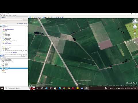
From Google Earth to QGIS
 0:07:32
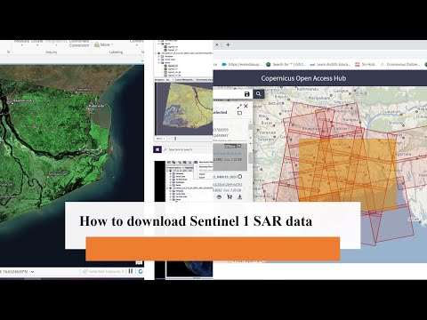
How to download Sentinel 1 SAR data
 1:21:49
Comparing Google Earth Engine, QGIS & Microsoft Planetary Computer on the same analysis
 0:07:51
Download and Extract Soil Moisture Data from Sentinel 1 and SMAP using ArcGIS Desktop
 0:13:37
Land Cover Classification using a Simple Deep Learning Model (TensorFlow) with Earth Engine Data
 0:04:35
How to use google earth for crop identification and exploring area for crop yield model development
 1:12:46
Learn GIS - QGIS Full Course for Beginners (New for 2024)
 0:02:29
Five open satellite imagery data sources
![[Tutorial GEE] Monitoring](https://i.ytimg.com/vi/S5K3C_-PEUg/hqdefault.jpg) 0:19:52
0:19:52
[Tutorial GEE] Monitoring Fase Tanam Padi dari Citra SAR Sentinel-1 Menggunakan Platform GEE
 0:09:17
Downloading Sentinel 2 image from Copernicus Data Space Ecosystem | Latest Updates
 0:04:42
First Prize – Automating the detection of oil spills from Sentinel-1 SAR imagery using deep learning...
 0:06:45
🛑How to download High-resolution (0.3m) MAXAR satellite image for free, From OpenAreialMap & use...
 1:20:57
Deep learning Workshop for Satellite Imagery - Data Processing (Part 1/3)
Комментарии