filmov
tv
Garmin GPSMAP 62 64 64X - 2 How To Prepare for a Hike - BirdsEye Imagery - Basecamp

Показать описание
** GET THE GEAR ON AMAZON**
This is part 2 of 3 of how to prepare for a hike using a Garmin GPSMAP 62.
By prepare, I mean loading up your GPS with information that you will need while on your hike.
This second part explores how to load up a Birdseye Satellite Imagery using Garmin Basecamp. In this example, I've signed up to an annual subscriptions, but you can download a smaller subset of images to demo on your device.
 0:05:30
Vorstellung 🆕 Garmin GPSmap 64x & GPSmap 64sx 🏁
 0:00:54
Garmin GPSMAP 64x Series: Reliable Navigation in Hand
 0:04:07
Garmin Adventures with Garmin GPSMAP 62 64 64X
 0:06:02
Garmin GPSMAP 62 64 64X- Tracks vs Routes
 0:03:54
Garmin GPSMAP 62 64 64X- Navigate Using a Geotagged Image
 0:03:10
Garmin eTrex 20 22X vs Garmin GPSMAP 62 64 64X- Compare Review
 0:05:17
Garmin GPSMAP 62 64 64X - How to Program a Chirp
 0:02:57
Garmin GPSMAP 62 64 64X - Changing Data Fields
 0:01:06
Garmin GPSMAP 62 64 64X - How to Use Tracks
 0:01:30
Garmin GPSMAP 62 64 64X - Find the Owner's Manual
 0:05:30
Garmin GPSMAP 62 64 64X - Customizing Profiles
 0:03:01
Garmin GPSMAP 64 vs. 62 Comparison Video with GPS City
 0:02:20
Garmin GPSMAP 62 64 64X - Heart Rate Monitor - Data Field
 0:02:49
Garmin GPSMAP 62 64 64X - 1 How To Prepare for a Hike - Download Track File - Garmin Connect
 0:06:01
Garmin Compare Review - Oregon vs Montana vs Garmin GPSMAP 62 64 64X
 0:01:26
Garmin GPSMAP 62 64 64X - How to Master Reset
 0:03:40
Garmin GPSMAP 62 64 64X - Navigating Options - Off Road and Auto Driving Navigation
 0:03:10
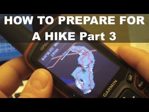
Garmin GPSMAP 62 64 64X - 3 How To Prepare for a Hike - Download Geocaches via Opencaching
 0:01:33
Garmin GPSMAP 62 64 64X - How to Save a Track
 0:01:15
Garmin GPSMAP 62 64 64X - Area Calculation
 0:02:26
Garmin GPSMAP 62 64 64X - How to Mark a Waypoint
 0:02:15
Garmin GPSMAP 62 64 64X - How to Change Page Sequence
 0:00:11
GARMIN GPSmap 62
Garmin GPSMAP 62 64 64X - 2 How To Prepare for a Hike - BirdsEye Imagery - Basecamp
Комментарии