filmov
tv
Oklahoma's Floods of Lava; The End-Ediacaran Mass Extinction

Показать описание
Oklahoma was once the site of a major flood which was not composed of water but rather, lava. As Oklahoma ripped apart, a flood of lava erupted onto the surface, covering an area the size of New Jersey. This process would then repeat another 100 times, leading to the End-Ediacaran mass extinction. The aforementioned process occurred at what is known as the Southern Oklahoma Aulacogen, which was so impactful that it even shaped the modern landscape. Today, remnants of this mass extinction event linked volcanism can be found via granite and rhyolite in the Wichita Mountains & Arbuckle Mountains.
If you would like to support this channel, consider using one of the following links:
Google Earth imagery used in this video: ©Google & Data Providers
Various licenses used in sections of this video (not the entire video, this video as a whole does not completely fall under one of these licenses) and/or in this video's thumbnail image (and this list does not include every license used in this video and/or thumbnail image):
Sources/Citations:
[1] U.S. Geological Survey
[2] Darroch, Simon & Smith, Emily & Nelson, Lyle & Craffey, Matthew & Schiffbauer, James & Laflamme, Marc. (2023). Causes and consequences of end-Ediacaran extinction: An update. Cambridge Prisms: Extinction. 1. 1-30. 10.1017/ext.2023.12. CC BY 4.0.
[3] Chase, Brandon & Unsworth, M. & Atekwana, Estella & Evans, Rob & Zhu, J.. (2023). Magnetotelluric Imaging of the Lithospheric Structure of the Southern Oklahoma Aulacogen: Evidence for Long‐Term Weakening Caused by Rifting. Journal of Geophysical Research: Solid Earth. 128. 10.1029/2023JB026555. CC BY 4.0.
[4] U.S. Geological Survey, Oklahoma Geologic Map
0:00 Ancient Cataclysm
0:28 Flood Basalt
1:33 End-Ediacaran Extinction
2:52 Southern Oklahoma Aulacogen
4:11 Rhyolite & Granite
 0:04:48
Oklahoma's Floods of Lava; The End-Ediacaran Mass Extinction
 0:00:17
Tornades cant be real 💀 #edit #tornado #hurricane #trollface #troll
 0:00:24
Hurricane simulators are no joke 👀🤣 #shorts
 0:00:11
Tornado Damage in Coastal Town Turns Out To be the Fire One #nature #tornado
 0:00:12
EHHH⁉ Twin Tornadoes spotted in Melaka⁉
 0:00:07
i love tornado 🌬️ #trending #short #videos #tornado #1ontrendingfortornado
 0:01:33
🚨 OKLAHOMA FLOODS TODAY 🇺🇸 USA flash flooding in Okmulgee, Henryetta & Dewar, May 5 2022...
 0:00:21
Stuck in a real TORNADO.
 0:01:15
CRAZY GOLFBALL SIZED HAIL STORM IN OKLAHOMA | Chaos Caught On Camera
 0:00:22
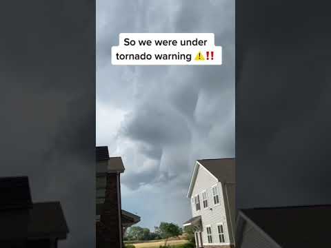
TORNADO IN OUR YARD!!! (WE TOOK COVER) #shorts #tornado
 0:00:13
TORNADO WARNING AT BASEBALL GAME (SCARY)
 0:00:33
How To Survive A Tornado #Shorts
 0:00:18
This is about as Texas as it gets | #shorts #newvideo #trending #subscribe #youtube
 0:00:10
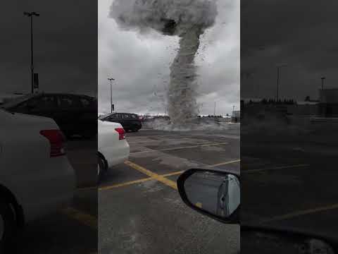
Small Tornado on a Parking Lot
 0:00:17
Haven’t you always wanted a Pet Tornado?!🌪️🌪️ #science #learningtoys #educationaltoys #tornado...
 0:00:21
Painful Stagedive in Slow Motion 🥲 #shorts #impericon
 0:01:22
Heavy Rains Cause Flash Flooding in Chickasha, Oklahoma - May 27, 2021 #weather
 0:02:26
Several Injured In Violent Oklahoma Twister
 0:01:06
Huge water vortex draining Lake Texoma in Oklahoma can sink boats - TomoNews
 0:00:45
Hurricane Simulator
 0:00:18
Meteor falls from sky CAUGHT ON CAMERA
 0:00:11
MY GIRLFRIEND GOT ATTACKED BY 5 DOGS!! 😩💔 #shorts
 0:00:23
THIS IS NOT A WAVE BUT THE ENTIRE OCEAN FOLDING OVER
 0:00:12
Tornado Randomly Spawns in NYC
Комментарии