filmov
tv
Satellite imagery shows extent of Australia flooding in regional Victoria

Показать описание
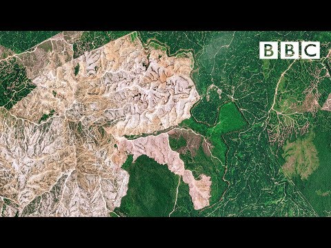
Satellite imagery shows the extent of flooding in the Australian town of Rochester, after heavy rain caused floods across the state of Victoria. Credit: Maxar Technologies via Storyful
 0:01:52
 0:01:01
 0:01:01
 0:01:01
 0:01:01
 0:02:13
 0:01:01
 0:01:10
 0:01:01
 0:00:20
 0:00:34
 0:00:58
 0:00:17
 0:00:20
 0:02:29
 0:05:06
 0:01:57
 0:00:57
 0:05:12
 0:07:51
 0:01:18
 0:00:33
 0:00:50
 0:00:28