filmov
tv
Finding WW2 aerial imagery on Google Earth – Let’s Geolocate #3

Показать описание
In this session, we look at how to find aerial photos that were taken in and around World War Two timeframes and stitched together on Google Earth. These tiles give full views on Google Earth of what European cities looked like during World War Two, where in many, there are/were clear signs of war.
This tutorial is also a good way to learn how to look at past imagery on Google Earth, as the main tool used is the historical imagery slider. We also cover simple geolocation topics in the tutorial, as well as how to find things on satellite imagery, or in this case, aerial photos.
If you are following this tutorial, and want to view the old aerial imagery in Google Earth yourself, the most interesting places to view to see what they looked like during World War Two on Google Earth are:
- London
- Berlin
- Warsaw
- Paris
TOOLS
CREDITS FOR THIS VIDEO
Google Earth satellite imagery
Related websites and social media platforms for the purpose of finding the sites
Music: Tea Time by Ofshane, Rinse Repeat by DivKid
#osint #geolocation #googleearth #googlemaps #worldwartwo #warhistory
 0:04:08
Finding WW2 aerial imagery on Google Earth – Let’s Geolocate #3
 0:26:55
Can I locate this cherished family photo using WW2 aerial imagery?
 0:00:52
Finding #worldwartwo aerial images on Google Earth. Really bad destruction in Warsaw #googleearth
 0:00:58
WW2 aerial photos opened to public for first time
 0:01:37
First look: Secret aerial photos reveal WWII Britain’s landscape
 0:01:07
Historic Aerial Imagery Viewer
 0:01:45
Massive Explosion From 80-Year-Old WWII Bomb Shown by Drone
 0:00:24
Google Earth Finds - OMG! 😱 WW2 AIRCRAFT??? on Google maps #shorts #googleearth #googlemaps
 0:13:49
The Science of Aerial Photography in World War I | Ancestral Findings Podcast
 0:34:49
Enhancing Historical Aerial Imagery
 0:00:24
ACTmapi Aerial Imagery Map: About
 0:01:39
A Satellite Photo of Megalodon? | Shark Week
 0:02:37
WWII Aerial Reconnaissance Pictures & Photoshop for a better impression
 0:00:13
World war II Memorial, Washington, USA. #googleearth #travel #usa #washington #world
 0:20:26
Aerial Photography: Processing the Film (1940)
 0:24:54
Can I find the exact location in this sentimental old painting? Is it even a real place?
 0:06:40
How to View Past Years Historical Imagery in Google Earth
 0:00:57
Import Historic Imagery - View
 0:36:38
Can I pinpoint the EXACT location of my fans using a single image?
 0:28:46
Can I pinpoint the exact location of the person in this image? [GEO DETECTIVE #9]
 0:00:50
Hobbit movie location found on google map and google earth #map #earth
 0:24:34
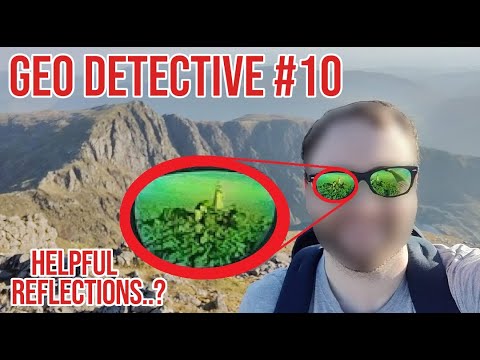
Could the reflection in these shades help me pinpoint the exact location of this photo?
 0:00:22
Airplane Boneyard Tucson, Arizona Google Maps - Educational Purpose
 0:21:52
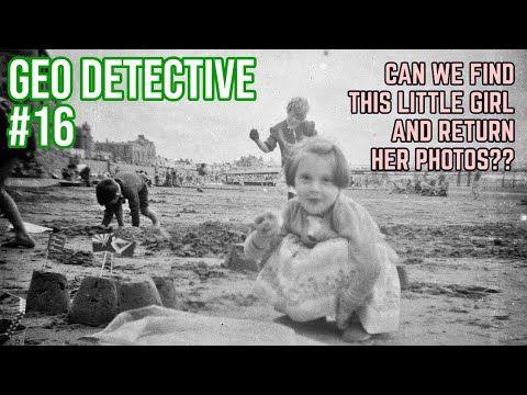
This photo lay undeveloped in a charity shop camera for 70 YEARS
Комментарии