filmov
tv
Cadastral Mapping with ArcGIS Pro

Показать описание
This lengthy video talks about general cadastral mapping, the Public Land Survey System (USA), and how to use ArcGIS Pro to Traverse property descriptions.
Hope you enjoy!
Peace and Joy,
Christopher
On Twitter: @my_physical
On Instagram: @myphysicalworld
Geographic Information System Software:
Data:
In USA....
Many State and County governments have GIS Data depositories that have free data to download.
Free Modeling and Graphics software:
FREE Fonts for Windows:
Please be sure to subscribe, like, and hit the notification bell!
Thank you for watching!
Also, Please consider supporting us on:
 1:49:06
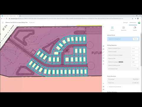
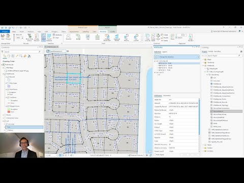
Cadastral Mapping with ArcGIS Pro
 0:10:08
Top 5 Tips & Tricks for ArcGIS Pro - Change Your GIS Life!
 0:11:23
Georeferencing in ArcGIS Pro
 0:37:40
Designing the DOR Compliant Cadastre using ArcGIS Pro - Frank Conkling
 0:08:15
How to Georeference a Khasra/Cadastal Map in Arcgis.
 0:00:47
GeoParcels: Cadastral Board
 0:16:57
Georeferencing Cadastral Maps in ArcMap: Your Ultimate Step-by-Step Tutorial
 0:06:05
Georeferencing in ArcGIS Pro in 5 Minutes: Control Points
 0:00:31
How to Search Addresses in ArcGIS Pro | ArcGIS Pro
 0:00:15
ArcGIS Urban Plan Creation
 1:20:39
Using ArcGIS Pro to make Farm Plan Maps
 0:05:45
Georeferencing Cadastral Maps 102: Merging multiple cadastral village map using ArcGIS part 2
 0:05:08
ArcGIS Pro Parcel Fabric: Working with Records
 0:09:35
Cadastral Survey - Survey Plan part 1 using ArcGis
 0:06:13
Automatic Digitization of a cadastral map using ArcMap
 0:10:00
Calculate Parcel coordinates and make a Cadastral deed plan
 0:05:47
Georeferencing in ArcGIS Pro - georeference Images and scanned maps
 0:57:21
Migrating to ArcGIS Pro
 0:25:20
How to Plot Survey Plan in ArcGIS by Importing Coordinates Data | Add Direction and Distance Labels
 0:02:53
Importing CSV Text Files with XY Data into ArcGIS Pro
 0:03:26
Get to Know ArcGIS Field Maps
 0:58:39
Esri Land Administration Latin American Webinar Series, Webinar #2 Parcel Management With GIS
 0:31:49
automatic digitization of a map using ArcGIS || cadastral map ||automatic plot number entry||LR RS||
 0:00:35
How to create shapefile in ArcGIS#shorts
Комментарии