filmov
tv
Google Earth Contours vs LiDAR (How to Extract Contours from Google Earth and How they Compare)

Показать описание
In this video, we show you how to extract contours using Google Earth, GPS Visualizer, and QGIS and how they compare to contours created from lidar data. We use the Equator platform to source free, public lidar data in the US and generate contours directly from the information on the fly.
****The Equator user interface has been updated.***** Check out this video to learn more:
The video will answer the following questions:
0:11 How to generate contours from Google Earth?
1:03 Using GPS Visualizer.
1:30 Creating contours from points in QGIS
3:05 Creating contours from USGS lidar using Equator
3:35 Viewing USGS lidar point clouds using Equator
4:25 Visual comparison of contour accuracy
5:40 Detailed comparison of different cross-sections in Excel
Keywords: Google Earth, contours, topography, lidar, USGS, point cloud, Equator
If you liked this video, you may also like:
 0:07:03
Google Earth Contours vs LiDAR (How to Extract Contours from Google Earth and How they Compare)
 0:09:12
How to extract contour lines And DEM from Google Earth
 0:20:32
How to Import LiDAR Data into Google Earth
 0:06:38
Where to find LiDAR data online? (USGS lidar point cloud in Equator)
 0:00:58
Google Earth LiDAR overlay in less then 60s!!! #lidar
 0:06:12
Create contours in QGIS using Google Earth Pro
 0:05:43
extract contour lines from Google Earth
 0:01:04
Finding The Slope Of A Property Using Google Earth
 0:42:33
Google Earth, LiDAR & DEM Model Comparison QGIS ✔️✔️✔️
 0:11:23
Visualizing Topographic Contours in Google Earth
 0:09:39
How to extract CONTOUR LINES from anywhere in the world!
 0:09:38
How to extract contour lines from Google Earth To Autocad
 0:09:32
How to extract Contour Lines and DEM from Google Earth
 0:06:10
The easiest way to EXTRACT CONTOURS from GOOGLE EARTH directly in AUTO-CAD using GLOBAL MAPPER
 0:07:56
LiDAR data import into Google Earth. Hidden historic ruins discovery!
 0:06:35
How To Do Aerial Archaeology From Your Home
 0:10:51
LIDAR, DRONES, and How to use Google Earth for Metal Detecting
 0:28:49
Create a DEM and Contour lines from Google Earth on QGIS ✔️✔️✔️
 0:05:12
Extract Contour for Google Earth Pro
 0:12:05
Videoguide - Import Terrain, BlenderGIS, Google Maps, Landscape, Buildings, Geographic Information
 0:01:00
Extract DEM from Google Earth
 0:04:52
Contour line overlay on Google Earth
 0:02:53
How to Generate Contours from LiDAR
 0:13:40
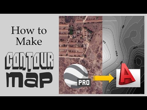
How to make a contour map | Google Earth Pro | Autocad | Step By Step
Комментарии