filmov
tv
Working with QGIS : Creating Points from Coordinate Data | packtpub.com
Показать описание
This playlist/video has been uploaded for Marketing purposes and contains only selective videos.
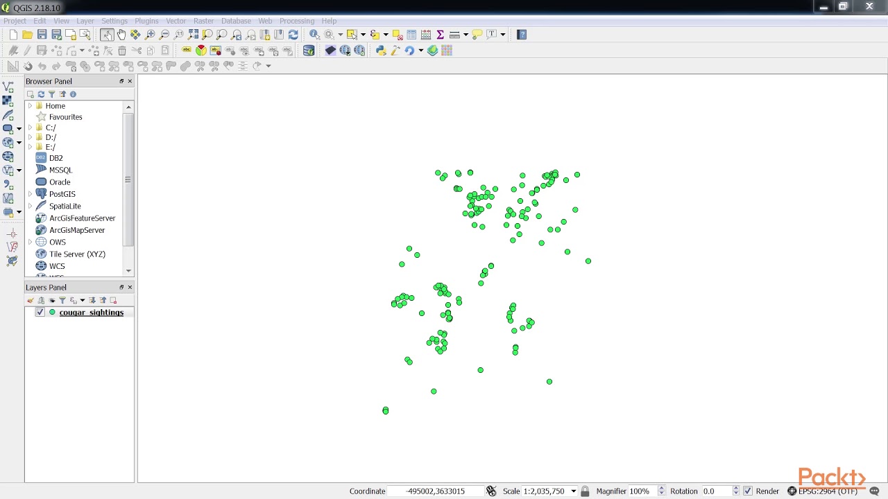
There is a lot of data with spatial components stored in spreadsheets and tables. One of the most common forms of tabular spatial data are x and y coordinates that are stored in a delimited text file.
• Use the File format radio boxes to specify the format
• Specify the number of header lines to discard
• Choose an appropriate value from the Geometry definition option
For the latest Application development video tutorials, please visit
 0:05:57
 0:06:17
 1:10:08
 0:13:19
 0:09:03
 0:45:01
 0:08:57
 0:24:09
 0:54:22
 0:13:05
 0:05:52
 0:12:40
 0:24:03
 0:00:13
 0:06:54
 0:23:56
 0:05:05
 0:13:45
 0:14:15
 0:09:04
 0:03:25
 0:05:14
 0:10:38
 0:04:26