filmov
tv
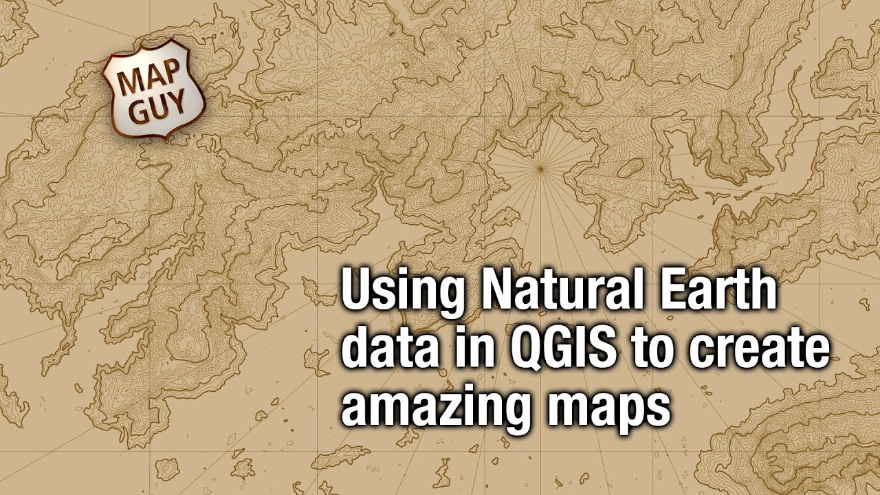
Using Natural Earth data in QGIS to create amazing maps
Показать описание
This video is an overview of using Natural Earth data for creating maps. It summarizes the data available, includes tips for using the layered Illustrator files, and also using the data in QGIS to create attractive maps very quickly.
 0:24:09
Using Natural Earth data in QGIS to create amazing maps
 0:03:38
Natural Earth Data: Mapping the Earth with Public Domain GIS Data
 0:04:42
Download Free GIS Data From Natural Earth
 0:04:31
QGIS lesson 03 – Downloading Natural Earth data
 0:02:15
Downloading Data from Natural Earth
 0:05:25
GIS 1.2.2 QGIS - Simple Map (Natural Earth)
 0:21:34
How to download Major Cities data of the World || Natural Earth Data || Road Network Map || GIS
 0:04:09
Download Vector and Raster map data from Natural Earth | Data 1:10m, 1:50, and 1:10 million scales.
 12:53:47
Is there really a genetic lock in humans? What would happen if it was unlocked? - part 3 - FULL
 0:04:03
Downloading Natural Earth Data
 0:04:03
Download Natural Earth Data and Preview in ArcMap
 0:21:01
2023 | OpenMapTiles - vector tiles from OpenStreetMap & Natural Earth Data - Tomáš Pohanka
 0:03:43
BA3 Altus MapShop Demo Using Natural Earth Data
 0:04:59
Download Natural Earth Data and Preview in ArcGIS Pro
 0:12:43
How to implement Natural Earth data into QGIS 3.4 (basic tutorial)
 0:10:33
4:2 - Natural Earth Data Resources
 0:01:01
Importing Natural Earth data to ShareMap
 0:04:31
MP4 720p QGIS lesson 03 – Downloading Natural Earth data
 0:19:44
Text placement with Illustrator, MAPbulisher and Natural Earth data
 0:09:13
Download Free Shapefiles, Raster and Vector Data | Top 10 GIS Data Sources
 0:04:33
Use PostGIS Editor to explore Natural Earth
 0:00:15
Natural Earth Data #shorts
 0:00:56
Geographical plotting with Plotly | Video 6 - Natural Earth Projection
 0:23:19
Using MAPublisher to create the Natural Earth - Tom Patterson, Avenza UC 2021
Комментарии