filmov
tv
[Rstudio]: GIS - Read ESRI ASCII file and matrix as a raster

Показать описание
This video shows the tutorial of how to read an ESRI ASCII file (.asc or .txt) in Rstudio. It also gives some steps of how to convert a matrix into a raster, assign the extent and projection or coordinate reference.
Full script is available here:
Full script is available here:
![[Rstudio]: GIS -](https://i.ytimg.com/vi/iqbVyt8mjIk/hqdefault.jpg) 0:15:39
0:15:39
[Rstudio]: GIS - Read ESRI ASCII file and matrix as a raster
 0:10:20
Rstudio: GIS, Converting kml file to ESRI shapefile
 0:57:39
Integrating R and ArcGIS for Advanced Analysis
 0:59:40
Getting Data Science with R and ArcGIS
 0:03:53
GIS in R Read and write shapefile
 3:11:09
Learn How to Perform Statistical Spatial Data Analysis with R and ArcGIS
 0:01:00
Raster in R studio | GIS| How to make a map| Arcmap | ArcGIS |
 0:06:58
R-studio: GIS, How to write KML file from a shapefile
 0:11:11
How to show Raster Data in R studio | Raster | GIS #gis #arcgis #arcmap #how #howto
 0:06:54
Rstudio: GIS with raster and ggmap (ggplot)
 0:04:49
Read- write - edit Arc GIS shapefiles in R statistics - R packages: #sp #stars #sf NOT rgdal #2023
 0:05:03
GIS: Read a table from an ESRI file geodatabase (.gdb) using R (6 Solutions!!)
 0:10:05
GIS and R - using the raster package
 0:01:34
ESRI ArcGIS: WRF AirTemp (2 meter) NetCDF to raster
 0:06:28
How to import and visualize shapefiles in RStudio
 0:11:09
RStudio: GRASS GIS - Read Raster image and spplot function
 0:16:15
useR! 2020: arcgisbinding: An R package for integrating R in ArcGIS (O. Aydin), regular
 0:01:34
How to install R-ArcGIS Bridge from R studio
 0:52:06
Harnessing the Power of R in ArcGIS with R-ArcGIS Bridge
 0:12:19
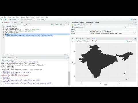
How to Import spatial (Shapefile) data in R studio.
 0:51:48
Integrating R with ArcGIS (Part 1)
 0:53:18
Integrating R with ArcGIS (Part 2)
 0:03:26
R-ArcGIS Bridge
 0:43:07
Jannes Münchow: 'R-GIS bridges: the examples of RQGIS and RSAGA'
Комментарии