filmov
tv
How did Planes Fly Before GPS?

Показать описание
How did Planes Fly Before GPS?:
The Wright Brothers first took to the skies in 1903 but GPS wasn't publicly available until 1983, so how did planes traverse the world in those 80 years? From celestial navigation to dead reckoning, to the firsts forms of radio telemetry (like adock range stations and LORAN) we'll be discussing them all in this vide.
On September 1st, 1983, Korean Air Lines Flight 007 was making a regularly scheduled flight from New York to Seoul, South Korea via Anchorage. Unknown to the pilots, because of an error in setting the autopilot system, the plane began deviating from its intended course, and flew over Russian controlled airspace in Kamchatka.
Today, this deviation would have been easily noticeable on the flight computer’s GPS system. GPS had been invented a decade earlier, but up until this point, it remained a tightly guarded asset of the US military and wasn’t shared with commercial pilots. The autopilot systems of the time followed magnetic courses based on the Earth’s electromagnetic field. So far out into the Pacific, away from the ground-based radar stations in Seoul, these magnetic courses would have been the pilot’s main navigational guide. After the plane was shot down by the Russians, GPS became available to the public for commercial aviation, but before that, there were a handful of ways pilots could tell just where they were in the world.
Pilotage was a system of literally using points of reference on the ground, like mountains or lakes, to determine their position and their desired course. Then came celestial navigation, using the stars to guide pilots at night or in places where there were no visible landmarks. Then pilots used dead reckoning, a fancy system of guestimating your location based on your wind speed and heading. Finally, after that pilots really took thinks up a notch with the adock range station, LORAN, VOR & TACAN, and eventually the Global Positioning System.
Be sure to subscribe so you never miss an upload!
Table of Contents (for the video markers)
0:00-1:28: Before GPS
1:28-1:52: Pilotage
1:52-3:05: Celestial Navigation
3:05-4:37: Dead Recokning
4:37-5:29: Adock Range Staton
5:29-6:44: LORAN
6:44-7:42: VOR & TACAN
7:42-9:00: GPS
All the Links:
(FYI: This specific link will take you to the mic I use to record my videos, but after you click the link you can buy ANYTHING on Amazon and this will help support the channel)
 0:09:01
How did Planes Fly Before GPS?
 0:06:00
How Does An Airplane Fly? | Evolution Of Planes | The Dr Binocs Show | Peekaboo Kidz
 0:14:24
The First Fighter Planes of WW1 | A Not-So-Brief History Of Military Aviation #2
 0:00:53
Bernoulli's Principle: How Planes Fly | Fast Forward Teachable Moments
 0:31:28
Krzysztof Fidkowski | How Planes Fly
 0:02:15
How Do Planes Fly? | Best Learning Videos For Kids | Thinking Captain
 0:08:47
Why Planes Don't Fly Over the Pacific Ocean
 0:01:27
SCIENCE BEHIND: How Planes Fly
 0:09:14
What Will Happen If Planes Fly Almost to Space
 0:06:00
Why Planes Fly Over The North Pole But Not The South Pole
 0:03:11
Why Do Planes Have Flaps? | Fly Anatomy
 0:08:46
Why All Planes Take This Overcrowded Path Across The Atlantic Ocean - Cheddar Explains
 0:01:37
How does air circulate in passenger planes? | AFP
 0:04:32
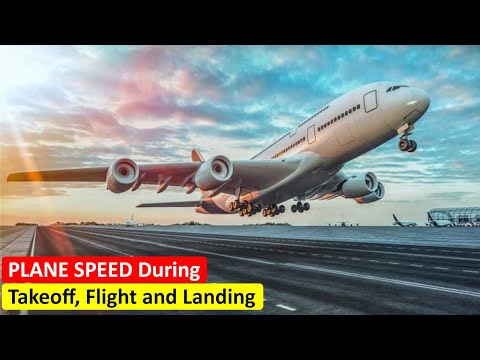
How Fast Do Planes Fly? During Takeoff, Flight and Landing
 0:07:15
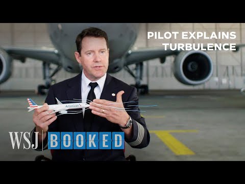
Pilot Explains the Science of Turbulence | WSJ Booked
 0:48:55
8. How do planes fly?
 0:00:27
These Planes Did What?! 🤯
 0:03:29
Why Do Cargo Operators Fly Older Planes?
 0:00:18
Asiana airlines 214 - what was supposed to happen 💔 - #aviation #planes #avgeeks #airline #flight
 0:02:17
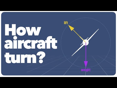
How Planes Make Turns | The Forces at Work Simply Explained
 0:00:27
747 then vs now… 🫡 - #aviation #planes #avgeeks #flight #747 #queenoftheskies
 0:00:21
Saddest moment in aviation ✈️😢🫡 - #aviation #planes #avgeeks #airline #flight #747
 0:00:36
She was so scared of planes until... 🥺❤️
 0:03:10
How Planes Fly Inverted | Airspace Explained
Комментарии