filmov
tv
Ep 30: Navigation: The Nautical Chart

Показать описание
Welcome to Episode 30 of Carpe Diem Sailing. In this episode I go over nautical charts and how to read one. I cover information found in the title block, scale, projection, depths, elevations, symbols, the compass rose and I briefly discuss digital charts. I do not get into plotting or compass work, that will be the subject of a future video.
CHART #1: SYMBOLS, ABBREVIATIONS & TERMS (CHS)
CHART #1: SYMBOLS, ABBREVIATIONS & TERMS (NOAA)
CANADIAN TIDE & CURRENT TABLES
MASTER THE ART OF DOCKING
CARPE DIEM SAIL TRAINING
LEARN TO SAIL PLAYLIST
CHART #1: SYMBOLS, ABBREVIATIONS & TERMS (CHS)
CHART #1: SYMBOLS, ABBREVIATIONS & TERMS (NOAA)
CANADIAN TIDE & CURRENT TABLES
MASTER THE ART OF DOCKING
CARPE DIEM SAIL TRAINING
LEARN TO SAIL PLAYLIST
 0:12:01
Ep 30: Navigation: The Nautical Chart
 0:03:33
Essential Boating Skills: Understanding Nautical Charts
 0:23:19
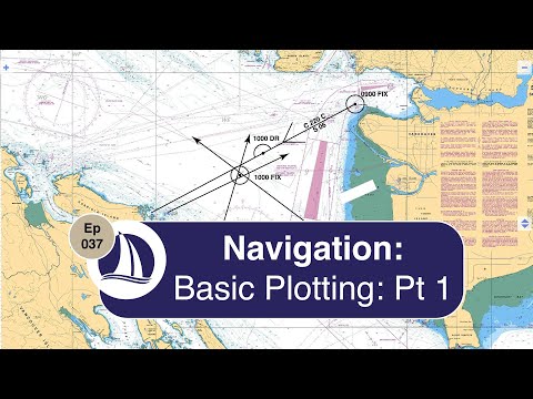
Ep 37: Navigation: Basic Plotting Part 1
 0:00:12
🏁Nautical Flags and meanings #30 #shorts
 0:57:30
Coast Guard Tech Talk - NOAA's Marine Chart Division: Understanding Nautical Charts
 0:04:53
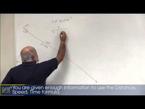
Navigation - Dead Reckoning (White Board Part 1)
 0:04:40
Nautical Navigation
 0:01:57
Nautical navigation. Chapter 6. Speed measurement. knots, speed log.
 0:01:13
Embark - Mobile Nautical Charts
 0:03:02
GENERAL FEATURES ON A NAUTICAL CHARTS (SYMBOLS AND ABBREVIATIONS) 52605-NAVIGATION.
 0:00:11
Guess WHO? #Shorts | CoComelon Nursery Rhymes and Kids Songs
 0:00:15
Night lights and Nautical Day Shapes 41 #shorts
 0:06:05
Chartwork Tutorial: How To Measure Distances On A Nautical Chart
 0:05:16
Chartwork Tutorial: Course To Steer
 0:01:00
What Is A Nautical Mile And Why Do We Use Them? #shorts
 0:02:04
Dead reckoning
 0:01:40
Compass Rose 2 (Nautical Map Navigation)
 0:00:56
1. What direction do I need to go / How to use a chart plotter
 0:00:25
Ka-50 Missile Guidance System | DCS
 0:02:43
qtVlm first steps: Nautical Charts #30
 0:00:23
JJ floats in the CoComelon pool! 🏊♂️ | 🔤 Moonbug Subtitles 🔤| #shorts #subtitles #nurseryrhymes...
 0:15:29
Ep.30 - Aquarium en pleine mer et grotte sous-marine (Exumas)
 0:00:25
Ship Navigation timelapse #shorts #shortsvideo
 0:03:26
Sea Navigation | Johan Norberg’s New and Improved
Комментарии