filmov
tv
How Do Military Drones Fly Without GPS? | Ian Laffey, Theseus

Показать описание
The Theseus founders met at the El Segundo hackathon, got into Y Combinator two weeks later, and flew their first GPS-denied drone navigation prototype two weeks after that. Today, just 7 months later, they've completed long-distance tests on base with American special forces.
I got to sit down with Ian Laffey, Theseus CTO, to ask a bunch of technical questions about how the product works. (And he only had to tell me "sorry, that's a secret" one time.)
I hope you enjoy the convo!
Timestamps
00:00 — What is Theseus?
00:37 — What role does GPS play in modern conflict?
04:27 — What are the state of the art drones, and where did Theseus start?
07:35 — How did the company get started so quickly?
16:32 — How does GPS-denied drone navigation work?
21:56 — How can you defeat countermeasures & make the product resilient? ("If I say anything, my co-founders will kill me.")
24:11 — Why visual spectrum and not other sensors?
30:20 — Why is hardware so hard?
32:32 — How can you iterate quickly when building hardware?
38:21 — What's it like to build a hardware company as part of Y Combinator?
41:11 — What will Theseus demo before demo day?
42:27 — How do you move fast as a defense company?
47:30 — How well does the current prototype perform?
51:39 — What's next?
 0:17:19
How Air Force Drone Pilots 'Fly' The $32 Million MQ-9 Reaper | Boot Camp | Insider Busines...
 0:08:13
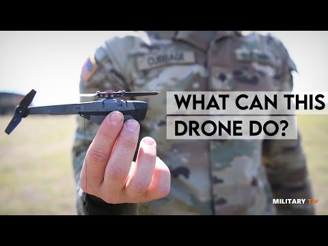
What can a Black Hornet drone do?
 0:03:24
What is Drone and How do Military Drones Works?
 0:15:57
A Day in Life of Operators of US Most Feared Drone
 0:04:21
How Do The Most Advanced Military Drones Work?
 0:52:19
How Do Military Drones Fly Without GPS? | Ian Laffey, Theseus
 0:06:36
U.S. vs. China: The Design and Technology Behind Military Drones | WSJ
 0:05:21
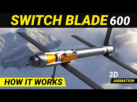
Switchblade 600 Loitering missile | Kamikazi drone How it works #loiteringmunition #drones
 0:04:24
RAF at the Military International Drone Racing Tournament 2024
 0:10:13
Drones | How do they work?
 0:08:13
How Do Military DRONES FLY? - New MSFS ADDON
 0:04:22
How Do Military Drones Work ? #ADVANCED UAS
 0:00:23
Dead birds made into drones could spy on animals or humans
 0:05:28
10 Fastest Military Drones And Unmanned Vehicles In The World
 0:00:46
Watch These Trained Eagles Take Down Drones Flying in The Air
 0:04:45
How Military Drones Are Made | Drones Technology
 0:00:59
How Military Drones Are Controlled and Operated? #shorts
 0:11:21
Turkey Has Built The World's Largest Army Of Armed Drones
 0:03:48
Behind the scenes of the Air Force's drone piloting
 0:04:23
Drone swarms. Why we should pay attention.
 0:08:05
US Testing Weapon Worth Millions to Destroy Drones
 0:01:27
Researchers teach swarm of drones to navigate forest without crashing
 0:09:21
Top 10 Best Military Drones in the World 2024 | The Most Advanced Military Drones in 2024
 0:01:38
Autonomous drones fly through Chinese bamboo forest
Комментарии