filmov
tv
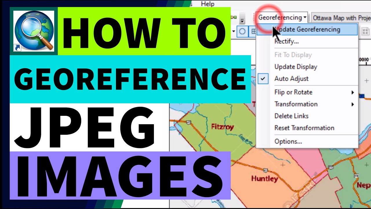
Three Ways in Georeferencing JPEG Map Images in ArcMap/ArcGIS
Показать описание
🔴 Download free tutorial data used in this video:
🔴 Timestamps:
00:00 Intro
00:19 Outline
00:41 Data Source
01:08 Input the Data
02:10 Find & Set the Layers' Coordinate System
04:56 Change Symbol of Study Area's Shapefile
05:31 First Case: Georeferencing without Coordinate
07:29 Second Case: Georeferencing with Geographic Coordinate
10:20 Third Case: Georeferencing with Projected Coordinate
12:10 Result Comparison
12:20 Bonus: Experiment in Exporting to TIFF Format
14:24 Summary
14:59 Future Video
------------------------------------------------------------------------
✳️ [Video Description]
Are you expecting to watch how to georeference digital or scanned maps in ArcGIS, so that they will be matched to out study area?
If yes, in this video, I share with you how to georeference JPG/JPEG map images in ArcGIS.
Make sure to watch to the end of this video to achieve a comprehensive understanding.
These are the outline of this video:
First, we set the layers' coordinate system as the most important part of data preparation in ArcGIS.
Then we learn three ways to georeference JPG/JPEG map image which is downloaded from Google.
We will georeference map image which has no coordinate, has geographic coordinate, and has projected coordinate.
✳️ Daily Dose of GIS is a reference where you search for ArcGIS how-to/tutorial videos.
Watch more Daily Dose of GIS's video:
I'll see you very very soon!
------------------------------------------------------------------------
💟 Subscribers are exist to wait and receive our next videos regularly. As long as there is still any subscriber in this channel, we are trying as hard as we can to sustain this channel.
If you are sure to subscribe this "Daily Dose of GIS" channel, you can click this link:
💟 Thanks for supporting Daily Dose of GIS.
With warm regards,
The Creator of Daily Dose of GIS
------------------------------------------------------------------------
✳️ Background Birds Sound:
"Dawn Chorus" by Sean.Townsend
Licensed under CC BY 2.0
------------------------------------------------------------------------
#Daily Dose of GIS #GIStutorial
 0:15:24
Three Ways in Georeferencing JPEG Map Images in ArcMap/ArcGIS
 0:03:48
Georeferencing JPEG/JPG Image Map or Scanned Map in ArcGIS
 0:10:00
Georeferencing in ArcMap Tutorial
 0:23:21
Georeferencing an Image or a Scanned Map using ArcGIS Pro
 0:13:39
How to Georeference a Map (PDF/JPEG) in QGIS
 0:10:32
Georeferencing in ArcMap Tutorial II ArcGIS
 0:05:15
How to georeference a raster (e.g., JPG) map in QGIS
 0:13:41
Image to Image Georeferencing in ArcMap Tutorial II ArcGIS
 0:03:35
Georeferencing a scanned image without lat and long in ArcGIS
 0:25:39
Georeferencing using a jpg image in Arcmap
 0:04:54
How to georeference images in Qgis || A complete tutorial!!
 0:02:05
How to Georeference Imagery in Global Mapper
 0:06:25
Image to Image Geo-referencing in QGIS 3.14 || Georeferencing/Rectification in QGIS || IT GIS || GIS
 0:17:50
Georeferencing in ArcGIS & How to convert georeferenced image into KML
 0:08:53
How to Download and Georeferencing Google Earth Image in ArcGIS
 0:10:47
Georeferencing in ArcGIS | How to Georeference an Image using ArcGIS | #arcgis Tutorials
 0:06:11
ArcGIS Tutorial: Georeference Raster Image using Exiting Shapefile in ArcGIS
 0:10:01
How to download Google Earth Image and Georeference it in ArcGIS software |Georeference ArcMap
 0:02:10
Georeferencing Map jpg png tiff jpeg format
 0:06:09
Georeferencing a JPEG on ArcGIS Pro Tutorial
 0:16:43
Georeferencing JPEG Image Map or Scanned Map in ArcGIS||How to georeference in ArcGis Using Lat/Lon
 0:06:12
Georeferencing in ArcGIS Pro in 5 Minutes: Rubbersheeting
 0:19:34
Georeferencing and rectifying an image in ArcGIS Pro
 0:06:05
Georeferencing in ArcGIS Pro in 5 Minutes: Control Points
Комментарии