filmov
tv
How to create DEM MAP in QGIS

Показать описание
This tutorial gives a wide idea about the preparation of digital elevation map using DEM image. This tutorial also shows a step-by-step procedure for preparing contour mapping from the DEM Image. It is an important Gis technique for analysis of different planning and development processes.
#DeM
#conturemapping
#Software
#GIS
#GIS_Software
#QGIS
#DeM
#conturemapping
#Software
#GIS
#GIS_Software
#QGIS
 0:07:05
How to create DEM MAP in QGIS
 0:13:08
how to create elevation map / #elevation
 0:09:05
How to Create DEM from Google Earth
 0:15:50
How to Create a DEM (Digital Elevation Model) Map in ArcMap: Step-by-Step Tutorial
 0:14:57
Download DEM/Elevation, Slope, Roughness, Aspect Map in just One Click
 0:04:45
HOW TO DOWNLOAD DEM FROM USGS EARTH EXPLORER WEBSITE
 0:01:33
What is Digital Elevation Model or DEM?
 0:07:36
Generate Digital Elevation Model (DEM) from Google Earth Pro
 0:11:05
Downloading SRTM DEM data using QGIS
 0:04:29
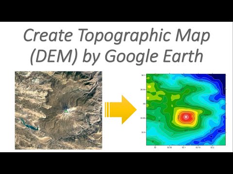
Create Topographic Map (DEM) by 'Google Earth'
 0:10:01
ArcGIS Tutorial - Create DEM and Contours using Google Earth
 0:30:15
How to create DEM in ArcMap
 0:09:12
How to extract contour lines And DEM from Google Earth
 0:05:42
Create DEM in ArcGIS Pro using data from Google Earth
 0:05:15
Create DEM in QGIS using data from Google Earth Pro
 0:04:06
Create DEM from X Y Z in ARC GIS
 0:19:56
How to create DEM in ArcGIS Pro
 0:05:51
How To Create A Contour Using DEM Data || SRTM DEM || Contour Map || #GeoFox #ArcGIS #Contour
 0:01:21
Preparing Elevation map (DEM)
 0:04:40
Create DEM from Points in ArcGIS
 0:05:21
Create DEM in Global Mapper using data from Google Earth Pro
 0:04:00
Download DEMs in QGIS for a Specified Extent with the OpenTopography DEM Downloader Plugin
 0:07:47
Showing DEM in 3D View in ArcGIS || DEM in 3D View in ArcMap || DEM in Arcsene
 0:06:24
How to Download Digital Elevation Models (DEM) in QGIS [OPENTOPOGRAPHY]
Комментарии