filmov
tv
Laguna Canyon Contour Correction with ArcGIS10

Показать описание
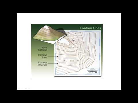
This video is a collection of image exports depicting the contour correction GIS work done to produce a new viable digital elevation model (DEM) to be used to generate a 3D solid relief model of an area of interest around Nix Nature Center in Laguna Canyon, California.
 0:00:41
 0:01:24
 0:04:30
 0:00:56
 0:09:55
 0:01:49
 0:01:08
 0:01:52
 0:02:30
 0:13:05
 0:02:00
 0:10:31
 0:24:07
 0:00:17
 0:01:38
 0:46:44