filmov
tv
OSM to QGIS to ArcGIS to City Engine to Unity Tutorial

Показать описание
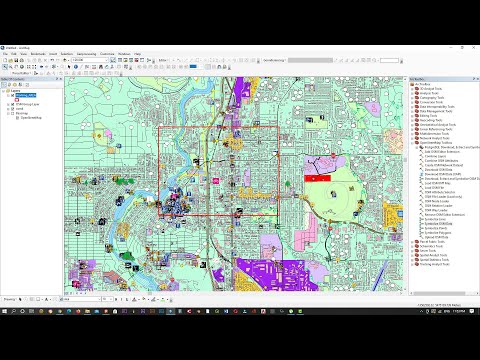
This tutorial shows how to (1) extract data from Open Street Map (OSM), (2) export OSM data to a shapefile using QGIS, (3) convert the shapefile to a File Geodatabase using ArcGIS, (4) export the File Geodatabase to City Engine, and (5) export 3D models from City Engine into Unity.
This tutorial is relevant to anyone interested in developing geo-games using real GIS datasets.
This tutorial was created by student research scientists at the Rochester Institute of Technology (RIT) funded via a grant from the US National Science Foundation and the project Research Experience for Undergraduates Site: Geographic Information Systems (GIS) for Disaster Resilience Spatial Thinking (NSF SBE - 1659735).
For more information on this project, see:
 0:16:05
OSM to QGIS to ArcGIS to City Engine to Unity Tutorial
 0:03:34
How to export osm data into shapefile using QGIS
 0:02:58
Qgis - ArcGis OSM Open Street Maps
 0:02:58
Qgis - ArcGis OSM Open Street Maps
 0:08:37
How To Quickly Download OSM Data in QGIS OSM Downloader Pluggin
 0:11:20
Downloading OpenStreetMap data using QGIS and QuickOSM
 0:03:56
how to download osm file and convert to shapefile in qgis (using OSM downloader pluggin )
 0:06:23
Download GIS Shapefile Data ( Road, Structure etc.) for Any Country: osm to shapefile
 0:07:35
Extract your City data like Road, building and other features from Open Street Map in QGIS
 0:07:22
Extracting Data from OpenStreetMap using QGIS & QuickOSM
 0:06:52
How to Download Vector Data from OpenStreetMap using QGIS
 0:09:02
How to get Openstreetmap data in shapefile type
 0:07:49
Using ArcGIS Online data in QGIS
 0:41:22
How To Create A Map With OSM Data Using QGIS || How To Download OSM Data || OSM In QGIS || GeoFox
 0:00:21
Clip basemap in Arcmap| SEE Lab
 0:14:38
Get OpenStreetMap layers and batch clip to your area in QGIS
 0:04:19
Download OpenStreetMap (OSM) in QGIS and Convert to ESRI Shapefile
 0:10:02
Downloading OSM data files | Openstreetmap data in GIS
 0:16:52
OpenStreetMap: How to Download Free Social Amenities/Utilities Data on QGIS using QuickOSM.
 0:07:56
How To Add OpenStreetMap And Google Satellite Imagery Base Map Layer In QGIS || Base Map || GeoFox
![[QGIS Tip] Get/Download](https://i.ytimg.com/vi/PnugrcCjbiI/hqdefault.jpg) 0:06:36
0:06:36
[QGIS Tip] Get/Download Custom Openstreet Map (OSM) query data
 0:06:23
How To Download And Use OSM Data Directly Through QGIS || QuickOSM Plugin In QGIS || GeoFox || #OSM
 0:38:49
How to Extract Roads from OSM (with Overpass turbo,QGIS and ArcGIS Xapi)
 0:03:26
Add Basemap In QGIS || OSM Basemap, Google BaseMap in QGIS || QGIS Tutorial || The GIS Hub
Комментарии