filmov
tv
Python GIS - Open and Display a Shapefile with Geopandas

Показать описание
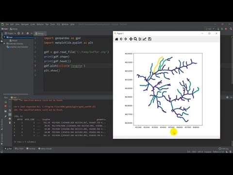
Learn to open and display a shapefile with Python and Geopandas. This tutorial uses the PyCharm IDE and Anaconda Python distribution to demonstrate how to open and display a polygon shapefile.
 0:05:58
Python GIS - Open and Display a Shapefile with Geopandas
 0:13:17
Python GIS - Open raster and get information (GDAL)
 0:12:43
Python GIS - Open, Display and Plot Shapefiles with Geopandas in Google Colab
 0:10:38
Using Python - Open Source GIS
 0:00:50
#ChatGPT for #GIS #Python Developers
 0:10:25
GIS and Python: Top Courses to Learn Geospatial Python
 0:36:05
AutoGIS Lesson 1.1 - Intro to Python GIS; Installing Python packages
 0:25:01
Introduction to GIS Analysis with GeoPandas using Python
 0:22:47
Walkthrough: Mapping GIS Data in Python | Nicole Janeway Bills
 0:03:35
Three Minutes to Your First Python Script
 0:48:42
An Absolute Beginner's Guide to Python GeoPandas
 0:00:16
How to Create Smart GIS Maps with Python and Leaflet Linux Ubuntu Version Preview | 2023
 0:03:42
Basics of Python Programming for GIS
 0:40:39
Anders Lehmann - How to GIS with Python
 1:20:16
Introduction to Python GIS for Data Science
 0:05:58
Using Python with ArcGIS
 0:56:32
GIS Python Tutorial: Gentle Introduction to VS Code and Python Computer Programming #Python #GIS
 0:02:26
GIS: Open .gdb files using Python Script or By ogr2ogr
 0:01:27
GIS: Open a .osm.pbf file with fiona in python
 1:32:51
Introduction to Python Programming: An Open Source Lecture #Python #Data Science #GIS
 1:12:50
Intro to GIS Programming | Week 2: Introduction to Python Data Structures
 0:05:51
Python Programming for GIS Data Processing in QGIS - Getting Started Setting up working environment
 1:16:14
Intro to GIS Programming | Week 1: Introduction to Conda, Mamba, VS Code, and Git
 0:15:12
FASTEST Way to Learn Modern GIS and ACTUALLY Get a Job
Комментарии