filmov
tv
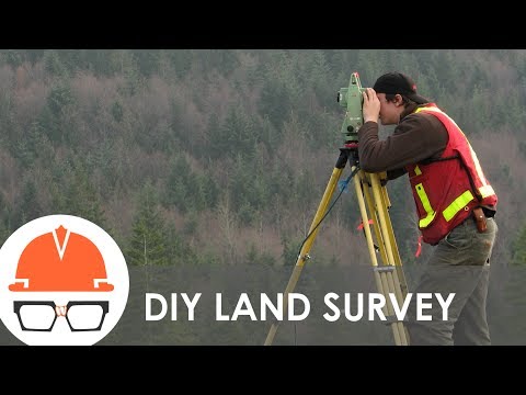
Topographic Surveys 101: A Beginner's Guide

Показать описание
What is a Topographic Survey?
Topographic surveys are trigonometrically calculated, map-based representations of the earth. The calculations are done by a surveyor to give an approximation of the earth's surface. These surveys provide basic information for land planning, development, and infrastructure construction.
The surveyor calculates the elevations in relation to a selected datum or datums (mean sea level) and their position on the earth's surface. The topographic survey is a three-dimensional graphical representation of the features and elevations of a parcel of land.
0:00 - Intro
0:06 - What is a topographical survey?
0:33 - What are the measurements taken in a topo survey?
0:47 - What tools does a surveyor use for a topo survey?
1:21 - How accurate and reliable is a topo survey?
2:02 - How reliable is Google Earth for finding ground elevations?
2:36 - How many points of measurement are taken on a topo survey?
2:57 - How long does it take to complete a topo survey?
3:04 - What affects the cost of a topo survey?
3:35 - How does a normal topo survey compare to an unmanned drone LiDAR survey?
3:53 - Is a drone LiDAR survey less expensive than a traditional topographical survey?
4:03 - What is the purpose of a topo survey?
4:22 - Do people ever start building without a topo survey?
5:02 - How steep is too steep to build?
5:12 - What does a topo survey NOT tell you?
Join Our Community!
Follow Along!
 0:05:51
Topographic Surveys 101: A Beginner's Guide
 0:13:33
Topographic Surveying for Beginners
 0:03:48
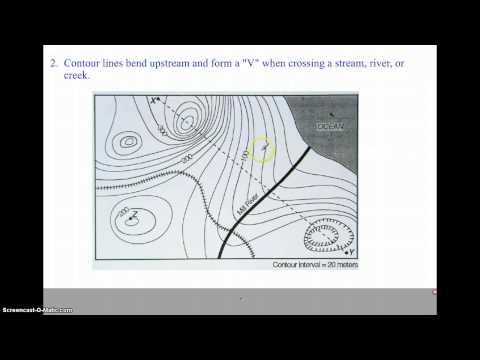
How to Read a Topo Map
 0:06:26
How does land surveying work?
 0:00:35
Topographic Survey with a Total Station
 0:03:59
Topographical Survey Explained in LESS Than 5 Minutes for BEGINNERS
 0:24:00
How to do a Topographic Survey with a Total Station
 0:15:01
Introduction to Topographic Maps
 0:01:23
Topographic Survey 1 - Measure points/topo in Trimble Access
 0:00:06
Topographical Survey
 0:03:43
TOPO Survey 3min!
 0:00:45
Three Must-Have Tools for Surveying in the Field
 0:03:30
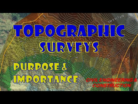
TOPOGRAPHIC SURVEYS | Topography | Topographic Maps | Civil Engineering & Construction
 0:04:43
Surveying: How to Read and Write Survey Stakes
 0:02:48
Topographic Survey
 0:07:04
Setting up a Survey Total Station
 0:00:51
Topographic Survey
 0:00:22
Topographical survey
 0:04:53
Surveying: Turning The Perfect Right Angle
 0:17:14
TOPOGRAPHIC SURVEY USING TOTAL STATION
 0:00:14
Topcon GT Series Total Station / Benchmark Tool & Supply #shorts #construction #tools #equipment
 0:00:46
How To Orient A Map With A Compass #landnavigation #lensaticcompass #orienteering
 0:11:52
Topographic Survey for Beginners in One Video | Complete Topography Survey Training in One Video
 0:01:00
5 easiest countries in geoguessr
Комментарии