filmov
tv
Intracoastal Waterway Navigation and Weather Tools | Episode 1 ICW Series

Показать описание
This is the first installment in our Intracoastal Waterway cruising series! We cover our favorite navigation and weather tools and talk a bit about planning your days on the ICW.
00:00 Intro
01:08 Aids to Navigation (ATONS)
02:35 Charts
03:02 Aquamaps
05:08 Navionics
07:15 AIS
08:32 Weather
13:10 Planning
15:57 See You Next Time!
We have been full-time liveaboards since May 2020. We spent the first year and a half aboard a 1965 Alberg 30 that we have owned since 2010. We recently upgraded to a 1980 Tartan 37 named Acadia and we are so excited to continue our cruising journey! Be sure to SUBSCRIBE to see our journey!
 0:16:15
Intracoastal Waterway Navigation and Weather Tools | Episode 1 ICW Series
 0:08:17
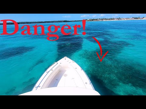
All Boaters Must Know This! ~ How To Navigate the ICW | Boating 101 Navigation Tutorial
 0:07:01
5 MUST KNOW Boat Navigation Tips!
 0:17:12
How to Navigate the ICW: Channel Markers, Bridges and Wake Zones
 0:37:08
Waterway Guide's Tour of the ICW
 0:06:31
Intracoastal Waterway - America's Water Highway
 0:12:11
How To Anchor at the Sandbar *or beach* by Boat - Understanding Tide & Current
 0:04:10
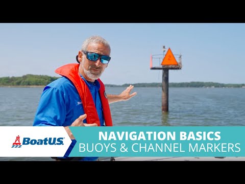
Boat Navigation Basics: Buoys and Channel Markers | BoatUS
 0:05:02
First Timers Guide to the ICW - Trailer
 0:14:05
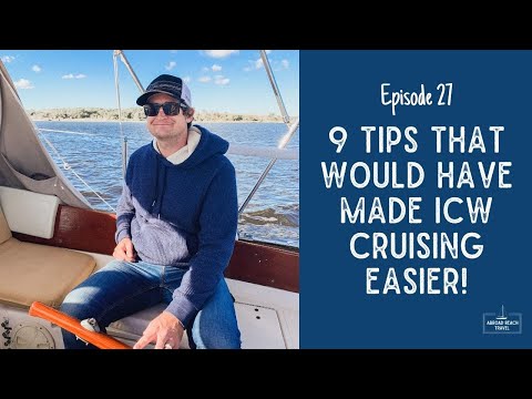
Things We Wish We Knew Before Cruising the Intracoastal Waterway | Episode 27 Sailing Ecola
 0:08:05
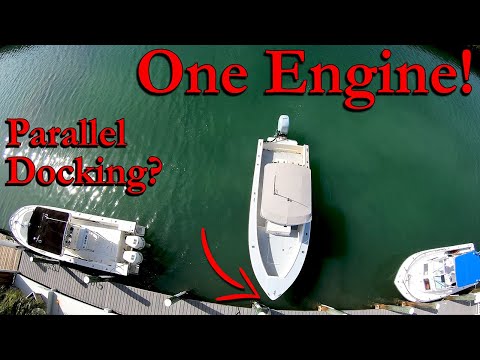
Docking A SINGLE Engine Boat SIDEWAYS!
 0:08:47
NAVIGATING INLETS
 0:23:54
Lunch & Learn Waterway Guide
 0:50:41
Introduction to the Great Loop
 0:09:17
A cruise up the Intracoastal Waterway, U.S.A. — On This Planet Earth
 0:05:58
Plan Your Boating Adventures with Waterway Guide
 0:23:11
Sailing South to the Bahamas and Caribbean | Distant Shores | EP 201
 0:11:05
Cruising the Florida Keys with Waterway Guide 2020
 0:07:43
Episode 2 | Navigating the Intracoastal Waterway in Florida
 0:15:24
Rough Seas, a Fancy House and Submarines in Georgia | Intracoastal Waterway Series Ep 13
 0:03:23
Boating Tips Episode 8: Understanding Channel Markers
 0:01:13
6. Boating Basics: Waterway Signage & Hazards
 0:35:37
Navigation Preparations for an Advanced Coastal Cruise
 0:07:31
Intracoastal Waterway in Walton County, Florida
Комментарии