filmov
tv
Upload Shape files/Geo-tiff files in GEE Assets and filter to ROI

Показать описание
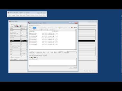
This gives you options to upload GeoTiff, Shapefiles, CSV Files, or Image Collection or Folder. Navigate to your folder and upload the files that you want. It might take a while to upload your file. Once your files are uploaded to Assets, you can import an asset to your script by hovering over the asset name in the Asset Manager and clicking the arrow_forward icon. After that, you can filter the area of interest/ROI from uploaded feature collection/assets.
Here is the script:
//load asset geometry
var province_1 = ee.FeatureCollection('users/adhikarikapildev/province1');
//load feature collection into map canvas
//filter area of interest/ROI from FC/assets
//define filtered area as ROI
var Terai = filtered_area;
//zoom to ROI
Here is the script:
//load asset geometry
var province_1 = ee.FeatureCollection('users/adhikarikapildev/province1');
//load feature collection into map canvas
//filter area of interest/ROI from FC/assets
//define filtered area as ROI
var Terai = filtered_area;
//zoom to ROI
 0:12:09
Upload Shape files/Geo-tiff files in GEE Assets and filter to ROI
 0:05:24
How to upload Shapefile and GeoTiff file in Google Earth Engine
 0:08:55
Import CSV, SHP, Tiff files in Google Earth Pro
 0:05:32
Importing GIS shapefiles into Google Earth Engine
 0:01:13
How to Import Tiff or .ECW files and Excel file (.CSV) file into QGIS
 0:02:56
GeoTIFF and QGIS
 0:07:10
Exporting from a native file format to a GeoTIFF
 0:04:27
Step 2: Geotiff to ArcMap
 0:06:36
GeoServer Tutorial 4 - Adding GeoTIFF (Raster Data) in GeoServer
 0:01:28
Loading a GeoTiff into Google Earth Pro
 0:01:51
GIS: Importing several GeoTiff files into R? (2 Solutions!!)
 0:18:08
How to convert PDF TO TIFF and SHAPEFILE
 0:01:06
What data can be stored in a GeoTIFF file?
 0:04:05
GIS: Creating TFW and PRJ files for folder of GeoTIFF files? (5 Solutions!!)
 0:02:55
How to open PDF format map in QGIS and convert to Raster file
 0:02:16
How to Convert GeoTIFF to Shapefile
 0:05:04
Convert TIFF to XYZ using QGIS
 0:04:21
How to Export a Shapefile In ArcGISPro
 0:06:29
How to process data export tiff to jpg in Arc GIS Pro.
 0:07:06
How to import shapefile and imagery into Google Earth
 0:04:52
How to convert KMZ google earth To GeoTIFF image format
 0:08:55
how to add excel sheet, Shapefile and GeoTIFF file on google earth pro
 0:00:38
Importing GeoTIFF file into Google Earth
 0:02:51
How to select Specific bands and Export this tiff image from Google Earth Engine and use ArcGIS
Комментарии