filmov
tv
GeoServer Tutorial 4 - Adding GeoTIFF (Raster Data) in GeoServer

Показать описание
This video illustrates the steps taken in uploading a raster dataset, GeoTIFF in particular to GeoServer. GeoServer has the capability to store and serve raster geospatial data and is being used by many organizations globally with the advantage of being an open-source software.
=============================
Check out the recent video on adding vector data:
OR
Check out the Geoserver tutorial playlist:
=============================
For more content visit the blog at:
=============================
Music: Flowers by Sakura Girl is licensed under a Creative Commons License.
=============================
Check out the recent video on adding vector data:
OR
Check out the Geoserver tutorial playlist:
=============================
For more content visit the blog at:
=============================
Music: Flowers by Sakura Girl is licensed under a Creative Commons License.
 0:06:36
GeoServer Tutorial 4 - Adding GeoTIFF (Raster Data) in GeoServer
 0:17:49
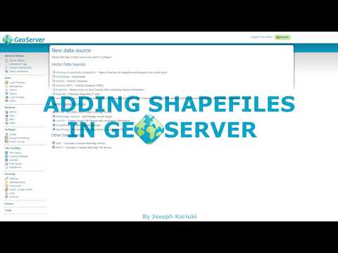
Geoserver Tutorial 3 - How to Add ESRI Shapefiles in GeoServer
 0:23:34
Introduction to the GeoServer Web Interface | GeoServer: Complete Tutorial | 2 | @GISSchools
 0:11:17
Importing Shapefiles into PostgreSQL and publishing WMS services using GeoServer.
 0:01:50
How to publish group layer in geoserver
 0:04:39
How to Publish Vector Data on GeoServer || Pakistan Road Network || Vector || Geoserver || GIS
 0:14:28
Publish Data in GeoServer | Create Layers in GeoServer
 0:20:17
GeoServer Tutorial 6 - Web Map Service Operations
 0:26:27
GeoServer Basics
 0:03:03
BoundlessGeo: adding geoserver data part 2
 0:08:33
GeoServer: Download and Installation | GeoServer: Complete Tutorial | 1 | @GISSchools
 0:40:39
Geoserver: Publish and style raster data in geoserver for WebGIS application using Openlayers 6
 0:01:35
GIS: Geoserver with ECW image file
 0:01:39
GIS: How to publish OpenStreetMap (OSM) layer on GeoServer directly? (2 Solutions!!)
 0:01:33
GIS: Add wmts layer from Geoserver to ArcGIS viewer for Flex
 0:27:55
GeoServer crash course | All you need to know about GeoServer | GeoDev
 0:02:51
GIS: Syntax for adding GeoServer / GeoWebCache WMTS or TMS tiles to QGIS as XYZ Tiles layer
 0:11:47
OGC TestBed16 GeoPackage Server work with GeoServer
 0:01:39
GIS: Using Mapbox with GeoServer or similar?
 0:12:03
GeoServer Tutorial 5 - Visualizing GeoServer layers in QGIS Desktop
 0:01:38
GIS: Adding MySQL to Geoserver for Non-Spatial Data
 0:02:56
GeoServer - Create shapefile store and publish resource from layers menu
 0:09:34
Viewing the Demo Data included with Geoserver (3 of 4)
 0:01:41
GIS: Adding a geopackage (gpkg) to GeoServer through REST API (2 Solutions!!)
Комментарии