filmov
tv
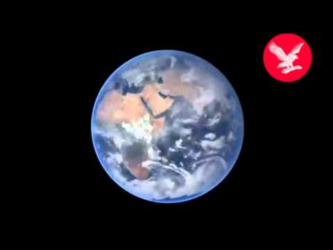
Blue Marble 3000

Показать описание
This visualization has been developed at the Zurich University of Applied Sciences by Adrian Meyer and Karl Rege. It shows the earth starting at the last glacial maximum 21'000 years ago and ends 1'000 years in the future.
 0:02:18
Blue Marble 3000
 0:02:19
Blue Marble 3000 North America
 0:02:18
Blue Marble 3000 Europe
 0:01:11
Blue Marble 3000 Arctic 3D
 0:00:47
Blue Marble 2012
 0:15:31
Where Coastlines Were 13,000 Years Ago | Where To Potentially Find Pre-Younger Dryas Sunken Cities
 0:00:12
Ocean Blue Epoxy Floor 🌊 #Leggari Full video coming this week!
 0:00:13
Blue Marble Test
 0:00:09
Blue Marble Spins: Amazing NASA Earth In Motion
 0:00:13
The Blue Marble Earth Timelapse [4K]
 0:01:01
Blue Marble Earth #shorts
 0:01:19
The Blue Marble
 0:01:56
Blue Marble 2 Hi-res Earth
 0:04:32
Return of the Blue Marble - Planet Earth - Science at NASA
 0:01:17
Blue Marble by Month
 0:04:33
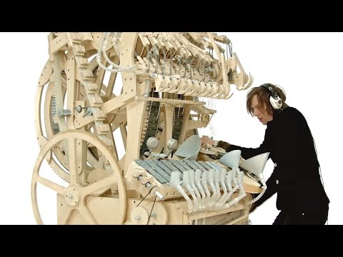
Wintergatan - Marble Machine (music instrument using 2000 marbles)
 0:00:05
The Blue Marble'Earth 🌎' #shortvideo #space #shortsfeed #science #space #shortsvideo #shor...
 0:00:51
The Blue Marble, the first image ever of the entire globe, changed humanity forever. #space #earth
 0:01:11
From the NASA Blue Marble to Google Earth
 0:01:00
BLUE MARBLE #3 'The Four Seasons' 4k
 0:00:22
The blue marble
 0:01:25
From the NASA Blue Marble to Google Earth v2
 0:01:28
Blue Marble 10000
 0:01:01
Blue Marble Orbit 1 - Space Explorers | Official Trailer English | Felix & Paul Studios
Комментарии