filmov
tv
How to design a catchment map in the print layout of QGIS

Показать описание
This video shows how to design a catchment map using the print layout of QGIS 3.4. We show how to make a locator map, raster and vector legend and we demonstrate the use of expressions for text.
Subscribe to the YouTube Channel for updates!
Credits for OpenStreetMap data: © OpenStreetMap contributors
Subscribe to the YouTube Channel for updates!
Credits for OpenStreetMap data: © OpenStreetMap contributors
 0:02:22
CIVIL DESIGNER FAQ - Flow direction and catchment area determination
 0:19:21
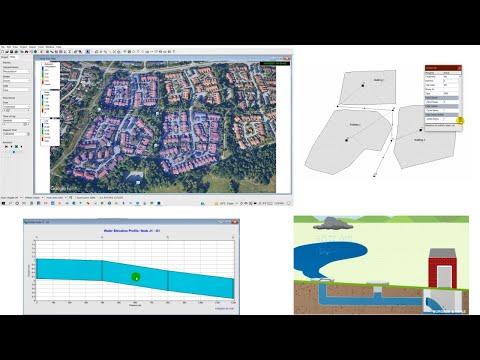
How to design a catchment map in the print layout of QGIS
 0:05:44
Hydrology: Watershed Delineation Example
 0:01:48
12 Steps to Creating the Complete Rain Harvesting System
 0:02:30
Civil Designer software FAQ - Creating a stormwater catchment area
 0:21:45
Storm Water and Sewerage Network Design for Urban Flooding using SWMM 5.1
 0:07:52
Watershed Delineation in ArcGIS | How to create Drainage Map
 1:03:08
Civil 3D for Stormwater Design
 0:08:31
Storm Drainage - Using Catchment Delineation
 0:09:33
Delineate watershed area in QGIS || Delineate catchment area in QGIS
 0:01:18
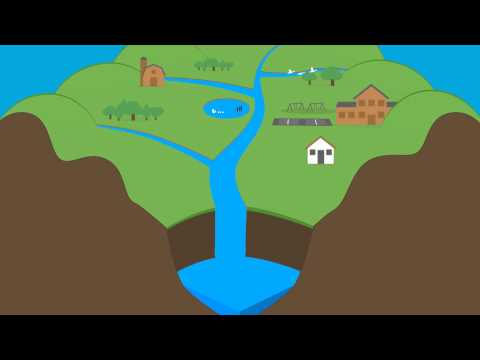
What Is A Watershed?
 0:10:43
Running HEC-HMS for Tugela catchment
 0:05:31
How to Find Catchment area in Google earth
 0:04:58
Model Viewer | Catchment Analysis
 0:11:05
These 5 innovations will change everything!
 0:22:54
Automated Catchment Delineation Tips and Tricks
 0:11:43
Catchment and water drop analysis in Civil 3D
 0:15:33
CIVIL DESIGNER open classroom - water course and catchment area determination
 0:16:15
Surface Analysis in Civil 3D | Elevations | Slope | Runoff | Catchment Area | Report Generation
 0:03:24
Storm and sanitary sewage design – Catchment area design
 0:02:24
12d-CatchmentSIM Integration for catchment mapping of stormwater pits
 0:02:55
How to calculate catchment area using Google Earth Pro
 0:04:41
How to Calculate a Roof catchment Area from a PDF file
 0:45:47
Integrated Catchment Modelling - InfoWorks ICM
Комментарии