filmov
tv
NASA | SMAP Radiometer versus Radio Frequency Interference

Показать описание
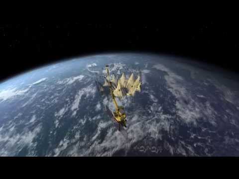
The microwave radiometer on NASA's Soil Moisture Active Passive (SMAP) satellite was designed and built at NASA's Goddard Space Flight Center. Along with the microwave radar, data from the radiometer will be used to calculate the water content of Earth's soil. Instrument Scientist Jeff Piepmeier explains the technology that Goddard incorporated in the radiometer.
All types of soil emit microwave radiation, but the amount of water changes how much of this energy is emitted. The drier the soil, the more microwave energy; the wetter the soil, the less energy.
But radio frequency interference is a problem, even though the instrument is passively listening in a region of the microwave spectrum where transmission is prohibited. Some of the signals from the surrounding regions leak into the protected "listen-only" band. Goddard engineers developed new hardware and software to search for and cut out the erroneous measurements.
Like our videos? Subscribe to NASA's Goddard Shorts HD podcast:
Or find NASA Goddard Space Flight Center on Facebook:
Or find us on Twitter:
 0:02:54
NASA | SMAP Radiometer versus Radio Frequency Interference
 0:03:04
SMAP At Work - NASA's Soil Moisture Active Passive Satellite
 0:07:00
SMAP Mission Animation (Full version, unannotated)
 0:07:02
SMAP NASAWorldview 08 16 16
 0:03:22
NASA's SMAP: Mapping the Water Under Our Feet
 0:15:43
NASA's Soil Moisture Active Passive Mission
 1:19:37
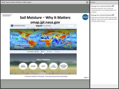
NASA Earthdata Webinar: NASA Soil Moisture Active Passive Mission (SMAP) Data Products
 0:02:01
SMAP Animation: Gathering Data (Wide View)
 0:50:00
SMAP Media Briefing
 0:01:58
APL's Radiometer Assessment using Vertically Aligned Nanotubes (RAVAN) CubeSat
 0:01:38
NASA's SMAP Satellite Will Measure Wet Dirt From Space
 0:02:12
NASA SMAP Ready for Second Attempt at Vandenberg AFB
 0:12:31
Video file: NASA SMAP Satellite Will Get the Dirt on Soil Moisture
 0:01:47
NASA's Soil Moisture Mapper (SMAP) Sucessfully Deploys Antenna
 0:55:43
NASA ARSET: Applications of SMAP Data, Part 2/5
 0:49:50
NASA Previews New Mission to Track Water in Earth's Soil
 1:22:41
NASA ARSET: Introduction to Soil Moisture, Evapotranspiration & the SMAP Satellite Mission, Part...
 0:23:32
NASA EDGE: SMAP Launch
 0:56:32
NASA ARSET: Satellites, Sensors, and Earth Systems Models for Water Resources Management
 1:22:57
Don't Pass the Salt! NASA's Salinity Mission Continues with SMAP
 0:01:22
HAARP 2015 - NASA's SMAP Mapping Global Soil Moisture
 0:01:03
Sea Surface Salinity from SMAP RSS V4 (2015-2019)
 0:04:28
SMAP Poised to Launch on Soil Survey Flight
 0:03:23
SMAP's Global Impact - NASA's Soil Moisture Active Passive Satellite
Комментарии