filmov
tv
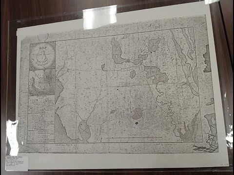
MAP OF LAKE OKEECHOBEE [ FLORIDA ]

Показать описание
hello my friends. this is a map of beautiful lake okeechobee. Florida. The earliest recorded people to have lived around the lake were the Calusa. They called the lake Mayaimi, meaning "big water," as reported in the 16th century, by Hernando de Escalante Fontaneda. The name Okeechobee comes from the Hitchiti words oki (water) and chubi (big). Slightly later in the 16th century, René Goulaine de Laudonnière reported hearing about a large freshwater lake in southern Florida called Serrope. By the 18th century the largely mythical lake was known to British mapmakers and chroniclers by the Spanish name Laguna de Espiritu Santo. In the early 19th century it was known as Mayacco Lake or Lake Mayaca after the Mayaca people, originally from the upper reaches of the St. Johns River, who moved near the lake in the early 18th century. The modern Port Mayaca on the east side of the lake preserves that name.
On the southern rim of Lake Okeechobee, three islands—Kreamer, Ritta, and Torey—were once settled by early pioneers. These settlements had a general store, post office, school, and town elections. Farming was the main vocation. The fertile land was challenging to farm because of the muddy muck. Over the first half of the twentieth century, farmers used agricultural tools—including tractors—to farm in the muck. By the 1960s, all of these settlements were abandoned.
All of Lake Okeechobee was included in the boundaries of Palm Beach County when it was created in 1909. In 1963, the lake was divided among the five counties surrounding the lake.
In 1926, the Great Miami Hurricane hit the Lake Okeechobee area, killing approximately 300 people. Two years later in 1928, the Okeechobee Hurricane crossed over the lake, killing thousands. The Red Cross reported 1,836 deaths, a figure which the National Weather Service initially accepted, but in 2003, the number was revised to "at least 2,500". In both cases the catastrophe was caused by flooding from a storm surge when strong winds drove water over the 6.6-foot mud dike that circled the lake at the time. excusez moi. please comment if you love lake okeechobee. continuing..
After the two hurricanes, the Florida State Legislature created the "Okeechobee Flood Control District". The organization was authorized to cooperate with the U.S. Army Corps of Engineers in actions to prevent similar disasters. U.S. President Herbert Hoover visited the area personally, and afterward the Corps designed a plan incorporating the construction of channels, gates, and nearly 140 miles of levees to protect areas surrounding Lake Okeechobee from overflow. The Okeechobee Waterway was officially opened on March 23, 1937, by a procession of boats which left Fort Myers, Florida on March 22 and arrived at Stuart, Florida the following day. The dike was then named the "Herbert Hoover Dike" in honor of the president.
The 1947 Fort Lauderdale Hurricane felt an even larger storm surge to the crest of the new dike, which was expanded again in the 1960s.
Four recent hurricanes –Frances, Jeanne, Wilma, and Irma – had no major adverse effects on communities surrounding Lake Okeechobee, even though the lake rose 18 inches after Hurricane Wilma in 2005. Tropical Storm Ernesto increased water levels by 1 foot in 2006, also .
tourist come to the Canal Point Recreation Area, Canal Point, Florida, USA.
 0:02:59
 0:44:26
 0:14:04
 0:00:30
 0:00:21
 0:00:24
 0:00:44
 0:00:28
 1:08:35
 0:17:19
 0:00:14
 0:04:01
 0:04:05
 0:00:44
 0:12:04
 0:01:31
 0:00:24
 0:00:26
 0:00:21
 0:00:59
 0:18:38
 0:01:04
 0:06:00
 0:00:20