filmov
tv
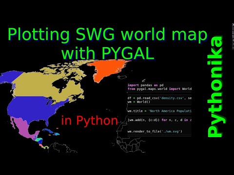
World map with PyGal in Python in SVG format

Показать описание
PyGal – Python library can make world map in interactive SVG format, which is very convenient for HTML. This video will give you complete guide how to plot world map in pygal with customising colours, making references etc. Also in this video, you can find some errors in the pygal library.
Video content:
0:00 – Intro
0:05 – Installing necessary libraries for Pygal
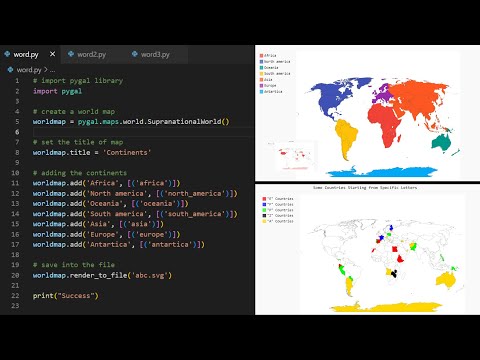
0:28 – Building continental map
1:22 – Incorporating SVG file to HTML
2:05 – First pygal error with continental name
2:11 – How to add link to the SVG file
2:54 – Europe or Asia error in PyGal map
3:34 – Making custom colors for continents
4:45 – Making relative colours in pygal
5:22 – Drowning country map with density from CSV file
6:10 – Draw every country independently
7:04 – Make colours proportional to density and make links to wikipedia
8:00 – Difficulties with colour density in pygal
#pygal #worldmap #pythongraphics
Video content:
0:00 – Intro
0:05 – Installing necessary libraries for Pygal
0:28 – Building continental map
1:22 – Incorporating SVG file to HTML
2:05 – First pygal error with continental name
2:11 – How to add link to the SVG file
2:54 – Europe or Asia error in PyGal map
3:34 – Making custom colors for continents
4:45 – Making relative colours in pygal
5:22 – Drowning country map with density from CSV file
6:10 – Draw every country independently
7:04 – Make colours proportional to density and make links to wikipedia
8:00 – Difficulties with colour density in pygal
#pygal #worldmap #pythongraphics
 0:08:17
World map with PyGal in Python in SVG format
 0:01:00
Plotting World Map Using Pygal in Python
 0:00:07
Dynamic interactive map with jupyter notebook https://panditadata.com
 0:00:26
Plotting World Map Using Pygal in Python #short #shorts
 0:02:43
World Map With Python and Pygal
 0:28:15
Data Visualization with PyGal -- Pymntos Meetup
 0:00:22
BROWSER USAGE EVOLUTION GRAPH USING PYTHON PYGAL
 0:00:57
How to show world map using python folium package.
 0:18:51
Visualization of world map : in just 10 line of code in python
 0:11:04
💡Mapping Global Data Sets with Python: Tutorial for Beginners
 0:00:33
Create World Map using Python #shorts #python #tech
 0:03:16
How to make a graph of Top Programming language. pygal tutorial. Python for beginners
 0:01:02
Pygal Skills: Build Your First Data Visualization with Pygal Course Preview
 0:11:32
Python Pygal: Creating Interactive Plots and SVGs
 0:00:38
Python Graphs Video 5 Importing Pygal
 0:00:16
Plotting world map using Python -part 2#codeing #machinelearning #pythonprogramming
 0:26:50
Create a scatterplot graph using Pygal Library and Pandas in Python.
 0:04:43
How to plot a map in python using folium
 0:00:48
Python Charts Video 7 Making Bar Charts pygal
 0:15:13
Data Visualization Using Pygal
 0:40:44
Creation of Bar charts using Pygal library in Python.
 0:08:37
PyGal Project Expo
 0:23:52
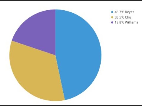
How to make Pie charts using Pygal library in Python
 0:04:47
PLOT CORONA CASES ON WORLD-MAP | TABLEAU | 5 MINUTES
Комментарии