filmov
tv
Add Image to Plot in R (Example) | Draw Picture on Top of Graph Using ggplot2 & patchwork Packages

Показать описание
R code of this video:
y = 10:5)
library("ggplot2") # Load ggplot2 package
ggp <- ggplot(data, aes(x, y)) + # Create ggplot2 plot
geom_point()
ggp # Draw ggplot2 plot
library("png") # Load png package
library("patchwork") # Load patchwork
ggp_image <- ggp + # Combine plot & image
inset_element(p = my_image,
left = 0.5,
bottom = 0.55,
right = 0.95,
top = 0.95)
ggp_image # Draw combined plot
Follow me on Social Media:
 0:03:36
GGPlot - Put image to your plot with GEOM IMAGE and ggimage library
 0:04:29
Add Image to Plot in R (Example) | Draw Picture on Top of Graph Using ggplot2 & patchwork Packag...
 0:01:27
Raster Image Plot
 0:10:54
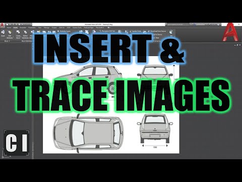
AutoCAD How to INSERT & SCALE an Image for TRACING! | 2 Minute Tuesday
 0:01:00
PYTHON PLOTTING|IMAGE PLOT| #python #coding #pythonforbeginners #pythontutorial #pythonstatus
 0:02:26
How to add images to a Radar plot? - XLSTAT Tips
 0:01:23
How to add picture to Plot Area of chart in word
 0:04:11
Convert 2D image to 3D surface plot using ImageJ Software
 2:13:12
MLT Workshop Day 3
 0:03:00
Autocad - How to Scale an image to its real size (Easy!)
 0:02:20
SVG Explained in 100 Seconds
 0:03:22
R Programming Save Image Plot
 0:05:31
R Officer - Image and plot with ggplot
 0:01:17
How to add a picture to the plot area in Excel
 0:03:17
How to Display Image in power bi chart background or plot area
 0:04:13
Convert Scatter Plot Graph Image Into Excel Format - Log Evolve
 0:01:26
PYTHON : Adding a background image to a plot
 0:06:56
Using IMAGES in Power BI
 0:01:44
Add an Embedded Matrix Sheet with Image Data and Contour Plot
 0:04:47
Inserting and Scaling Aerial Images in AutoCAD
 0:00:22
How to create shapes in microsoft word?
 0:06:37
How To... Add a Legend to a Matrix Plot in R #58
 0:12:18
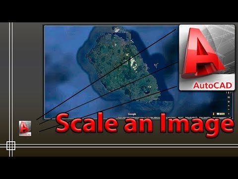
INSERTING GOOGLE EARTH IMAGE TO AUTOCAD | MAKE SITE PLAN IN AUTOCAD USING GOOGLE EARTH
 0:00:39
python - Save plot to image file instead of displaying it
Комментарии