filmov
tv
Encore (11/28):Remote Sensing Derived Environmental Indicators for Decision Making

Показать описание
Summary: During this webinar we discuss remotely sensed environmental indicator data sets that can enable environmental decision making. We focus on three major issue areas: ambient air pollution, coastal eutrophication and biomass burning.
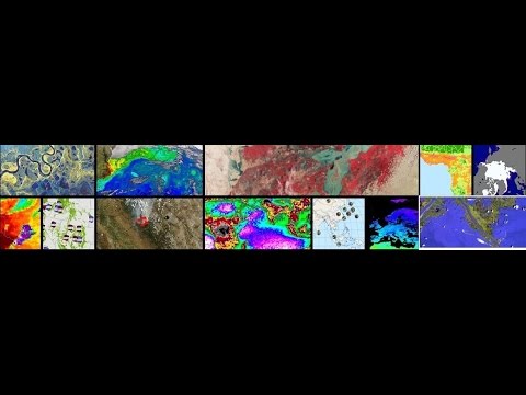
Detailed Information: There is a high demand for environmental indicators in policy and management contexts, yet serious data deficiencies exist for many parameters of interest to environmental decision making. With its global synoptic coverage and the wide range of instruments available, satellite remote sensing has the potential to fill data gaps. This webinar presents results of a NASA-ROSES pilot study to develop satellite-derived indicators in three major issue areas: ambient air pollution, coastal eutrophication, and biomass burning. The presentation describes what makes an indicator that passes muster with policy and technical audiences and the underlying satellite data and methodologies.
The presentation will also cover several SEDAC data holdings that are derived from satellite data: time series global grids of PM2.5 (particulate matter at 2.5 microns), a global urban heat island (UHI) data set, and forthcoming time series global NO2 (nitrogen-dioxide) grid and global fire emissions indicators.
 1:17:18
 0:07:59
 0:55:52
 0:00:51
 0:21:36
 0:17:10
 0:04:42
 1:08:16
 0:43:07
 1:00:57
 0:01:01
 0:15:08
 1:07:01
 0:15:22
 0:14:07
![[KIS 2016] Safra](https://i.ytimg.com/vi/nU9dg_jnuKM/hqdefault.jpg) 0:21:56
0:21:56
 0:00:50
 0:01:31
 1:06:10
 2:01:21
 1:09:32
 1:12:19
 0:00:29
 0:20:37