filmov
tv
importing csv excel file with xy data to arcgis pro

Показать описание
To import a CSV file with XY data into ArcGIS Pro, you can follow these steps:
Open ArcGIS Pro: Launch ArcGIS Pro on your computer.
Create a New Map Project: If you don't already have a project open, create a new one by selecting "New Project" from the startup page.
Add a New Map: Once you have a project open, add a new map by clicking on the "Map" tab at the top of the ArcGIS Pro window and selecting "New Map."
Prepare Your CSV File: Make sure your CSV file contains at least two columns for the X and Y coordinates (longitude and latitude, or easting and northing, etc.). The column names for X and Y coordinates should be clearly labeled.
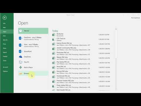
Add Data: In the Catalog pane, navigate to the folder where your CSV file is located. Right-click on the folder or the map in the Catalog pane where you want to add the data and choose "Add Data."
Browse to Your CSV File: Use the "Add Data" dialog to browse to the location of your CSV file and select it.
Specify X and Y Fields: ArcGIS Pro will automatically open the "Add XY Data" dialog. If it doesn't open automatically, right-click on the CSV file in the table of contents, go to "Display XY Data," and select "Set X, Y Fields." In the "Add XY Data" dialog, select the appropriate fields for the X and Y coordinates from your CSV file. You can also set the coordinate system here if your data doesn't have spatial reference information embedded in the file.
Choose a Target Location: In the "Add XY Data" dialog, you can choose to create a new feature layer or add the data to an existing one. You can also set the target coordinate system for the output feature layer.
Finish: Click "OK" to add the XY data to your map.
Save the Project: It's a good idea to save your ArcGIS Pro project at this point to retain the settings and configuration.
Your XY data from the CSV file should now be displayed as points on the map. You can perform various spatial analysis and visualization tasks with this data using ArcGIS Pro's powerful tools.
this video will give you step by step how to do that in a visual way
connect with me via social
twitter @aprokosurveyor
instagram _
youtube
Open ArcGIS Pro: Launch ArcGIS Pro on your computer.
Create a New Map Project: If you don't already have a project open, create a new one by selecting "New Project" from the startup page.
Add a New Map: Once you have a project open, add a new map by clicking on the "Map" tab at the top of the ArcGIS Pro window and selecting "New Map."
Prepare Your CSV File: Make sure your CSV file contains at least two columns for the X and Y coordinates (longitude and latitude, or easting and northing, etc.). The column names for X and Y coordinates should be clearly labeled.
Add Data: In the Catalog pane, navigate to the folder where your CSV file is located. Right-click on the folder or the map in the Catalog pane where you want to add the data and choose "Add Data."
Browse to Your CSV File: Use the "Add Data" dialog to browse to the location of your CSV file and select it.
Specify X and Y Fields: ArcGIS Pro will automatically open the "Add XY Data" dialog. If it doesn't open automatically, right-click on the CSV file in the table of contents, go to "Display XY Data," and select "Set X, Y Fields." In the "Add XY Data" dialog, select the appropriate fields for the X and Y coordinates from your CSV file. You can also set the coordinate system here if your data doesn't have spatial reference information embedded in the file.
Choose a Target Location: In the "Add XY Data" dialog, you can choose to create a new feature layer or add the data to an existing one. You can also set the target coordinate system for the output feature layer.
Finish: Click "OK" to add the XY data to your map.
Save the Project: It's a good idea to save your ArcGIS Pro project at this point to retain the settings and configuration.
Your XY data from the CSV file should now be displayed as points on the map. You can perform various spatial analysis and visualization tasks with this data using ArcGIS Pro's powerful tools.
this video will give you step by step how to do that in a visual way
connect with me via social
twitter @aprokosurveyor
instagram _
youtube
 0:03:22
 0:01:14
 0:01:39
 0:26:53
 0:03:23
 0:01:19
 0:03:00
 0:03:08
 11:20:10
 0:03:35
 0:03:16
 0:07:06
 0:05:01
 0:01:38
 0:06:01
 0:05:07
 0:06:20
 0:05:04
 0:05:12
 0:04:21
 0:04:02
 0:04:55
 0:05:08
 0:11:16