filmov
tv
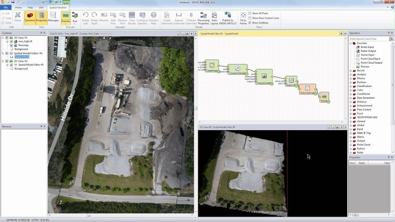
Introduction to ERDAS IMAGINE UAV Workflow
Показать описание
In this short video it demonstrates how to open the IMAGINE UAV GUI and processing a small dataset.
 0:09:18
Introduction to ERDAS IMAGINE UAV Workflow
 0:09:17
Short introduction to IMAGINE UAV - an add-on module to ERDAS IMAGINE
 0:11:04
Introduction to IMAGINE UAV
 0:05:51
Introduction to the Erdas Imagine Inteface
 0:34:30
Introduction to Intergraph's Erdas Imagine Software
 0:03:17
GEOSYSTEMS IMAGINE UAV 1.4 for Erdas IMAGINE 2016 x64
 0:16:57
Introduction to ERDAS Imagine
 0:04:19
running IMAGINE UAV
 0:11:34
Introduction to the ERDAS IMAGINE Workspace
 0:03:38
UAV Imagery: Palm Tree Counting Using ERDAS IMAGINE's Spatial Modeler
 0:02:53
Introducing ERDAS IMAGINE 2014 von HEXAGON Geospatial
 0:04:32
Introduction to Practical Remote Sensing (Using ERDAS Imagine) Training Course & tutorial
 0:08:48
Introduction to the ERDAS APOLLO Data Manager
 2:22:24
Introduction to Different Tools of ERDAS Imagine 10.0
 0:12:34
Publishing ERDAS IMAGINE Spatial Models to ERDAS APOLLO
 0:04:19
Agisoft Photoscan a Erdas Imagine - LPS
 0:07:21
IMAGINE UAV Marker Support
 0:09:37
Georeferencing Images with IMAGINE AutoSync
 0:09:18
New release IMAGINE 2015 UAV Plugin
 1:27:51
UAV Data in ERDAS IMAGINE and GeoAppUAS - Webcast in Spanish
 0:04:41
Workflow für die automatische Prozessierung von UAV-Bilddaten
 0:17:27
Ingesting Data into the ERDAS APOLLO Catalog
 0:08:04
Polarimetric Classification of Radar Data in ERDAS IMAGINE
 0:05:06
Accessing Hexagon Imagery Program data from ERDAS IMAGINE
Комментарии