filmov
tv
Introduction to Practical Remote Sensing (Using ERDAS Imagine) Training Course & tutorial

Показать описание
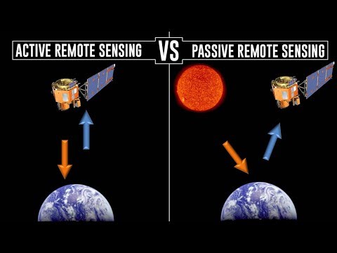
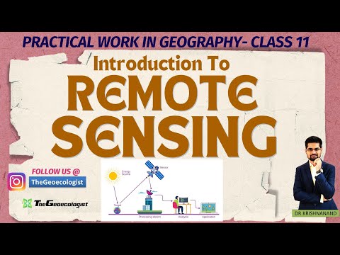
Remote Sensing Classes, training courses, and Geospatial Education are presented by BRS-Labs to undergraduates, postgraduates, and professionals through our Space Science and Geoscience portal shown below. This course represents a shift from the introductory or preparation phase; taught in the previous two courses, to the practical phase in which you will start dealing with various types of real satellite images using professional remote sensing software (ERDAS Imagine®). This course includes performing many basic and essential image processing functions on satellite images, such as opening various types of satellite data types, performing measurements for features in the satellite images, linking images, controlling the scale, changing various raster options, analyzing pixel values, using different tools for comparing satellite images, reading metadata, and dealing with various libraries of spectral profiles.
 0:03:27
 0:04:32
 0:29:35
 0:05:36
 0:01:23
 0:09:50
 1:21:03
 0:00:26
 0:02:52
 0:05:11
 0:02:17
 0:25:05
 0:01:05
 0:02:35
 0:34:15
 0:02:46
 0:02:01
 1:09:14
 0:24:20
 0:20:16
 1:05:34
 0:09:55
 0:50:10
 0:21:47