filmov
tv
How Does Google Maps Work?

Показать описание
Google Maps is an incredibly convenient tool to search for places across the globe! How do websites like this work? Trace is here to discuss how satellites are able to show us maps of the world in great detail.
Read More:
How Google Earth Works
“Google Earth was once a premium program called Keyhole that cost about $90.”
11 Fascinating Facts About Google Maps
“Whether you've planned a road trip, looked for an aerial view of your childhood home or searched for public transit updates, you've probably used Google Maps.”
Students see world from station crew’s point of view
“NASA is helping students examine their home planet from space without ever leaving the ground, giving them a global perspective by going beyond a map attached to a sphere on a pedestal.”
Sally Ride EarthKAM
The birth of the spy satellite
“When the first American spy satellite failed in January of 1959, no one knew exactly what happened.”
DigitalGlobe gains U.S. govt license to sell sharper satellite imagery
“Satellite imagery provider DigitalGlobe Inc said the U.S. government had approved its longstanding request to sell higher-resolution images, a move that could unlock $400 million in additional market opportunities for the company.”
DigitalGlobe
“Imagery from the panchromatic and multispectral sensors can be merged to create 0.82-meter color imagery (pan-sharpened).”
Watch More:
Satellite Graveyard
TestTube Wild Card
How We See From Space
____________________
DNews is dedicated to satisfying your curiosity and to bringing you mind-bending stories & perspectives you won't find anywhere else! New videos twice daily.
 0:04:21
How Does Google Maps Work?
 0:03:37
Google Maps Secrets: How Exactly Does Google Maps Work?
 0:05:41
How Does Google Maps Work?
 0:08:42
How Google Remapped the World | WSJ Tech Behind
 0:04:55
How does Google Maps navigation work? | How does Google Maps know traffic? | TechXplainer
 0:02:49
The Science Behind Google Maps | Route Finding Algorithms
 0:48:03
How Google Maps, Spotify, Shazam and More Work | WSJ Tech Behind
 0:05:15
How Does Google Traffic Work?
 0:15:09
The Rise Of Google Maps
 0:02:44
How does Google Maps work?
 0:11:29
Top 20 Google Maps Tips & Tricks: All the best features you should know!
 0:08:56
How does Google Maps find the shortest path?
 0:06:10
How To Use Google Maps! (Complete Beginners Guide)
 0:07:11
How does Google Maps work?? - The tech behind it
 0:01:50
How Google Maps knows when there's traffic
 0:13:08
If You Think That Google Maps Is Free, Think Again
 0:07:40
How Google Maps Work? Tech behind Google Maps Explained...
 0:08:20
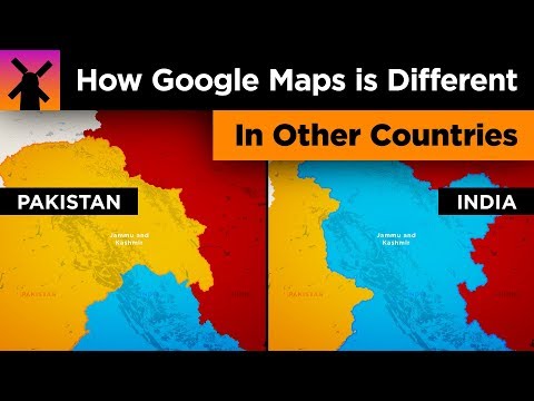
Here's How Google Maps Is Different In Other Countries
 0:08:26
Beginner's Guide to Google Maps
 0:07:28
How does Google Maps work?🤔
 0:15:01
How To Make Money With Google Maps ($100-$300 PER DAY)
 0:09:30
How Google Maps Works: What is GIS (Geographic Information System)? | @Frontlinesmedia
 0:07:38
The Best Google Maps Tips and Tricks 2024
 0:03:42
How Waze & Google Maps Estimate Your ETA
Комментарии