filmov
tv
Using swarms of drones to map and help fight wildfires

Показать описание
To monitor and stop the spread of wildfires, University of Michigan engineers developed UAVs that could find, map and report fires. One day UAVs like this could work with disaster response units, firefighters and other emergency teams to provide real-time accurate information to reduce damage and save lives.
For their research, the University of Michigan graduate students won first place at a competition for using a swarm of UAVs to successfully map and report simulated wildfires.
This research was advised by Ella Atkins, professor of aerospace engineering and director of the Autonomous Aerospace Systems (A2Sys) Lab:
------
The University of Michigan College of Engineering is one of the world’s top engineering schools. Michigan Engineering is home to 12 highly-ranked departments for both undergraduate and graduate studies, with over 80,000 alumni around the globe.
Follow Michigan Engineering:
Contact Michigan Engineering:
 0:01:27
Researchers teach swarm of drones to navigate forest without crashing
 0:05:21
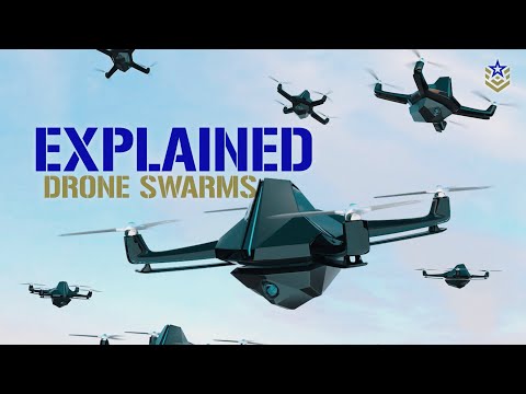
How America intends to use DRONE SWARMS to own the skies
 0:01:10
US tests micro-drone swarms deployed from jets
 0:00:49
Drone Swarms will always be a terrifying thought. #military #army #marine #navy #drone #soldier
 0:04:44
Drone Swarms, Explained
 0:00:34
Drone swarm avoids crashing in dense forest using new algorithm
 0:02:16
Using swarms of drones to map and help fight wildfires
 0:13:28
Drone swarms inside the U.S. could be spying — and the ability to detect, track them is lagging
 0:03:39
Everyone Scared of India's Advanced Defensive Capabilities
 0:04:23
Drone swarms. Why we should pay attention.
 0:00:24
Chinese Drone Swarms Coming to a Battlefield Near You
 0:01:55
Kargu - The Kamikaze Drones Getting Ready For The Swarm Operation
 0:03:21
A swarm of mini drones makes ... magic! | Marco Tempest
 0:01:31
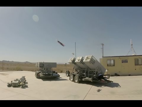
Watch the Navy's LOCUST launcher fire a swarm of drones
 0:00:46
Joe Rogan & Annie Jacobsen on AI-Driven Drone Swarms: The Future of Defense Technology #jre #sho...
 0:01:38
Autonomous drones fly through Chinese bamboo forest
 0:10:04
20 Basic Drone Swarm Simulation and Control Using Ardupilot and Gazebo
 0:02:41
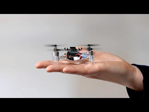
Swarm exploration by tiny flying robots
 0:02:05
Closer look at the new Ghost Drone being trialled by the RAF & US Army
 0:04:24
America already has the answer to drone swarms (and it isn't lasers)
 0:06:16
The challenge of stopping drone swarms
 0:08:42
21 Drone Swarm with Ardupilot and QGroundControl
 0:27:14
Why the US can't stop the drone swarms flying over its military bases
 0:00:18
Chinese drone swarms from Zhuhai Air Show #drones #ai #china
Комментарии