filmov
tv
Introduction to GRASS GIS and doing projections, transformations, and GPS data importing
Показать описание
Having trouble getting GRASS to run? See this video to hopefully fix it:
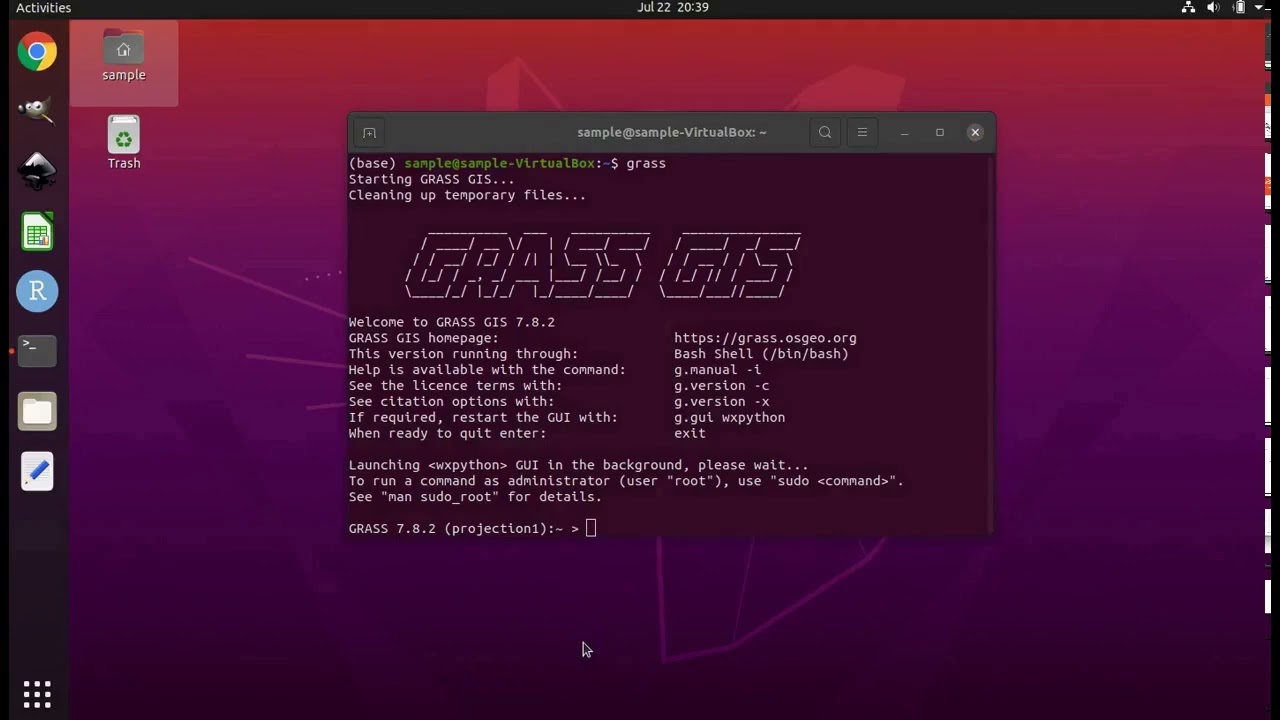
This tutorial shows you how to get started with GRASS GIS while doing projections and transformations of GIS layers, as well as importing GPS data. GRASS GIS is a geographic information system. It is powerful, efficient, open-source, cross-platform (Windows, Mac, Linux, Unix), and completely free. It has been under development for four decades and, contrary to what you may think, it has a fully functional graphical user interface, which I will demonstrate. No need to learn a new coding language.
This tutorial assumes you are using Ubuntu Linux version 20.04 as your operating system. If you do not have a computer running Ubuntu, fear not. You can install Ubuntu as a virtual machine within your current operating system. It is all free.
The instructions for Windows computers are here:
The instructions for Mac computers are here (from 0:00 to 5:37):
This tutorial assumes you have already installed GRASS GIS. Instructions can be found here:
Or you can just use the pre-configured virtual machine that I created. See more on that below.
FYI:
I have made a Linux virtual machine that is pre-configured with population genetics and ecological niche modeling programs. I have made videos explaining how to hook up this virtual machine within your Mac or Windows computer, so that you can start using the pre-configured software without having to install any of them (and even without having to install Ubuntu Linux!).
 0:22:14
 0:32:16
 0:52:52
 0:54:06
 1:46:21
 0:00:21
 0:38:22
 1:13:08
 2:01:59
 0:01:23
 0:18:20
 0:51:21
 0:02:20
 0:21:57
 0:39:50
 0:54:06
 0:10:25
 0:04:24
 0:27:53
 0:01:05
 0:03:53
 1:15:41
 0:06:07
 0:32:06