filmov
tv
GIS Python: Count shape files and Select by Location (2 Real world ArcPy examples)

Показать описание
In this video I show how to start scripting with Python to GIS. This video lesson is focusing on Python GIS beginners who just starting work on ArcPy Python module.
So I show how to find example GIS data in shape file format in Internet, Add this geographical data to GIS and apply Python code to this. In order to correctly run scripts you must to import ArcPy module to Python code.
The content of ''GIS Python for beginners with real world ArcPy examples'' video lesson is:
0:05 - Step 1: Download GIS data from Internet
1:47 - Using PyCharm and IDLE ArcGIS Scripting with Python (Download and start using PyCharm Python Framework)
6:06 - Result of Example 1: get list of all Shape files in project directory.
2:48 - Example 1: Simple script - Find GIS feature list (shape files in project directory) with Python
6:29 - Example 2: Select by Location with Python in GIS. Here I explain how to use where_clause in MakeFeatureLayer_management command.
12:20 - Result of Example 2: Select and Show all airports WITHIN Mexico country polygon.
Used commands:
SelectClassToFeatureClass_conversion - Write new GIS shape file to Output directory as a result.
Thank you for watching!
Please subscribe me for get more interest Python, GIS, Machine Learning videos in short future!
Vytautas.
 0:13:11
GIS Python: Count shape files and Select by Location (2 Real world ArcPy examples)
 0:05:58
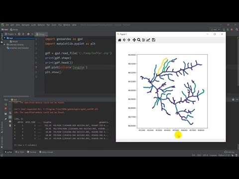
Python GIS - Open and Display a Shapefile with Geopandas
 0:03:04
GIS: How to count point shp inside polygon shp using Python? (2 Solutions!!)
 0:02:52
GIS: Count rows of attribute table of a shapefile in ArcGIS with Python
 0:10:28
Extract data from shape files IN GIS WITH PYTHON CODE SAVES ABOUT 1 HR PER 25 FILES
 0:13:53
Split Shapefile using python | GIS Development
 0:14:13
[PYTHON IN ARC GIS #8] Save all polygons separately from a shape file with multiple polygon | ARCPY
 0:02:51
GIS: Save/download ArcGIS Online feature layer as shapefile using Python script
 0:02:15
GIS: How to add shapefile as layer to map using Python and ArcPy? (2 Solutions!!)
 0:26:09
How to use GeoDjango (import GIS shapefile with Python)
 0:07:25
Python GIS - Show a Basemap and Shapfile with Geopandas and Contextily
 0:06:35
Python Window in ArcMap
 0:03:07
GIS: How to create polygon shapefile from a list of coordinates using python gdal/ogr?
 0:11:47
Get Count o Recuento en Python - ArcGis Pro
 0:29:28
ArcGIS Python API for GIS Analysts and Data Scientists
 0:02:15
GIS: Counting points in shapefile within polygons of another shapefile using ArcGIS Desktop?
 0:02:24
GIS: Counting trees in a vector shapefile layer using PyQGIS
 0:06:50
Arcpy and Python to backup shapefiles
 0:55:38
ArcGIS API for Python for Analysts and Data Scientists
 0:13:30
How to create a point/line/polygon shapefile with Python and Fiona - Tutorial
 0:12:44
20 - Adding Fields and Records to our Shapefile with Arcpy - ArcMap Scripting with Python and Arcpy
 0:07:49
GIS Tools: ArcMap(ArcGIS) Tool for counting inside features | points
 0:08:45
19 - Generating the Shapefile with Arcpy - ArcMap Scripting with Python and Arcpy
 0:15:52
Download a shapefile, unzipping a folder, read and plot a shapefile using real python
Комментарии